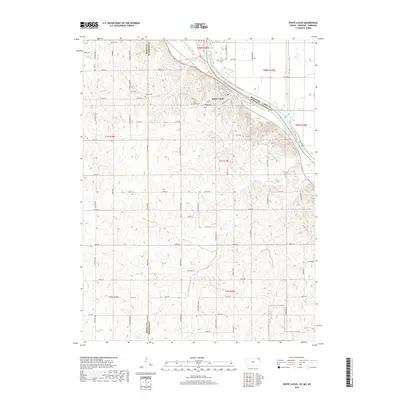
2018 Map of White Cloud
USGS Topo · Published 2018About this map
The town of White Cloud occupies a sharp bend in the Missouri River, serving as a focal point where the borders of Kansas, Nebraska, and Missouri converge. The landscape is defined by the significant elevation changes of the river bluffs, most notably at Chalk Bluff, which overlooks the wide alluvial plain to the northeast. Transportation and industry are historically tied to the river corridor, evidenced by the BNSF Railway tracks that parallel the water's edge, cutting through the base of the loess hills.
Find a feature on this map
60 named features on this map. Tap any name to fly to it.
Don’t see what you’re looking for? This feature index may not catch every label — zoom into the map to look around manually.
Map Details
Editions of this 2018 White Cloud Map
This is the sole edition of this map. No revisions or reprints were ever made.
Other maps of this area

1885 · Atchison
USGS Topo · 1:125,000

1888 · Atchison
USGS Topo · 1:125,000

1893 · Atchison
USGS Topo · 1:125,000

1920 · Craig
USGS Topo · 1:62,500

1926 · Oregon
USGS Topo · 1:62,500

1926 · Maitland
USGS Topo · 1:62,500

1950 · Kansas City
USGS Topo · 1:250,000

1954 · Kansas City
USGS Topo · 1:250,000

1955 · Nebraska City
USGS Topo · 1:250,000

1956 · Kansas City
USGS Topo · 1:250,000