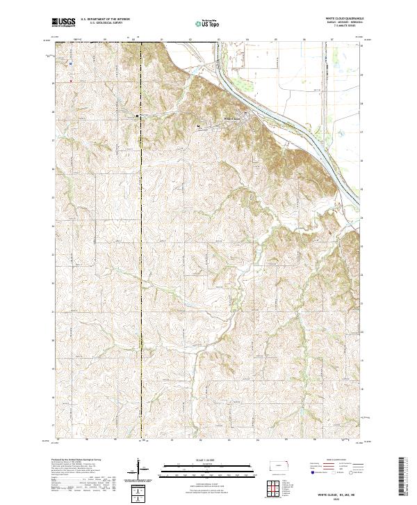
2022 Map of White Cloud
USGS Topo · Published 2022About this map
White Cloud sits perched on the bluffs overlooking the winding Missouri River at the northern edge of the Kansas-Missouri border. This 2022 survey captures a landscape defined by deep ravines and high ridges, where a dense network of country roads, including Tumbleweed Rd and Willow Rd, navigate the complex terrain. The map serves as a vital record for genealogists, marking the locations of the Olive Branch Cem and Tesson Cem, which preserve the history of early families in the region. The drainage patterns of Nolands Cr, Cedar Cr, and Spring Cr illustrate the rugged topography that shapes the border between Brown Co and Doniphan Co. Along the river, Chalk Bluff stands as a prominent natural landmark, highlighting the distinct geological character of the river valley.
Find a feature on this map
62 named features on this map. Tap any name to fly to it.
Don’t see what you’re looking for? This feature index may not catch every label — zoom into the map to look around manually.
Map Details
Editions of this 2022 White Cloud Map
This is the sole edition of this map. No revisions or reprints were ever made.
Other maps of this area

1885 · Atchison
USGS Topo · 1:125,000

1888 · Atchison
USGS Topo · 1:125,000

1893 · Atchison
USGS Topo · 1:125,000

1920 · Craig
USGS Topo · 1:62,500

1926 · Oregon
USGS Topo · 1:62,500

1926 · Maitland
USGS Topo · 1:62,500

1950 · Kansas City
USGS Topo · 1:250,000

1954 · Kansas City
USGS Topo · 1:250,000

1955 · Nebraska City
USGS Topo · 1:250,000

1956 · Kansas City
USGS Topo · 1:250,000