Loading...
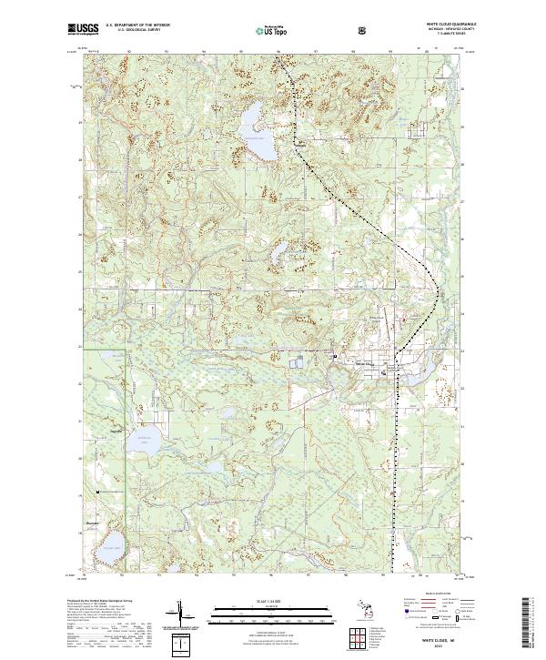
Loading map...2023 Map of White Cloud
USGS Topo · Published 2023About this map
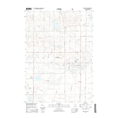
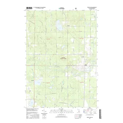
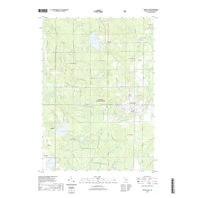
White Cloud serves as the focal point of this Newaygo County landscape, situated along the South Branch White River. As the seat of local government, it is home to the Newaygo County Courthouse and the White Cloud Airport. The surrounding area is defined by the dense woodlands of the Manistee National Forest, which is crisscrossed by significant recreational paths like the North Country National Scenic Trl and the Newaygo-Wellston Smt Dnr 3 Trl.
Find a feature on this map
39 named features on this map. Tap any name to fly to it.
Don’t see what you’re looking for? This feature index may not catch every label — zoom into the map to look around manually.
Map Details
Date Portrayed2023
Date Published2023
PublisherU.S. Geological Survey
Map TypeTopographic
Scale1:24,000
Physical Dimensions24 x 29 inches
Editions of this 2023 White Cloud Map
This is the sole edition of this map. No revisions or reprints were ever made.
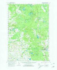
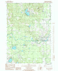
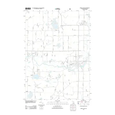
Historical Maps of White Cloud Through Time
7 maps found
Featured Locations
- White Cloud, MI
- Wilcox Township, MI
- Everett Township, MI
- Lincoln Township, MI
- Jugville, Sherman Township
Source Details
SourceU.S. Geological Survey
CopyrightPublic Domain