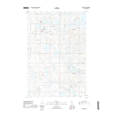
2019 Map of White Earth
USGS Topo · Published 2019About this map
The settlement of White Earth serves as a central point in this northern Minnesota landscape, where the geography is defined by an intricate network of glacial lakes and wetlands. Local history and genealogy are anchored by several notable sites, including Saint Columba's Episcopal Mission Cem and Calvary Cem, reflecting the early community's spiritual and social foundations. To the south, the smaller settlement of Fairbanks sits near Fairbanks Lake, while the topography rises at Suicide Hill near the southern boundary.
Find a feature on this map
83 named features on this map. Tap any name to fly to it.
Don’t see what you’re looking for? This feature index may not catch every label — zoom into the map to look around manually.
Map Details
Editions of this 2019 White Earth Map
This is the sole edition of this map. No revisions or reprints were ever made.
Other maps of this area

1953 · Brainerd
USGS Topo · 1:250,000

1954 · Bemidji
USGS Topo · 1:250,000

1957 · Brainerd
USGS Topo · 1:250,000

1957 · Bemidji
USGS Topo · 1:250,000

1958 · Bemidji
USGS Topo · 1:250,000

1958 · Brainerd
USGS Topo · 1:250,000

1959 · Flat Lake
USGS Topo · 1:24,000

1959 · Richwood
USGS Topo · 1:24,000
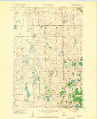
1959 · Callaway
USGS Topo · 1:24,000

1965 · Brainerd
USGS Topo · 1:250,000