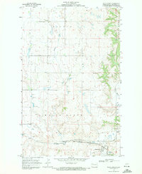
1969 Map of White Earth
USGS Topo · Published 1971About this map
White Earth occupies the southern reaches of this landscape where the Burlington Northern railroad corridor meets the White Earth River. The 1969 survey captures a period of industrial activity in Mountrail County, characterized by the Tioga Gas and Oil Field to the west and numerous Gravel Pits scattered across the township lines of Bicker and White Earth. Rural community life is anchored by landmarks such as the Norman Ch and its adjacent Cem, along with a local Townhall.
Find a feature on this map
15 named features on this map. Tap any name to fly to it.
Don’t see what you’re looking for? This feature index may not catch every label — zoom into the map to look around manually.
Map Details
Editions of this 1969 White Earth Map
This is the sole edition of this map. No revisions or reprints were ever made.
Other maps of this area
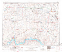
1953 · Williston
USGS Topo · 1:250,000
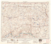
1957 · Williston
USGS Topo · 1:250,000
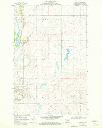
1969 · Ross NW
USGS Topo · 1:24,000
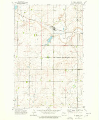
1974 · McGregor
USGS Topo · 1:24,000
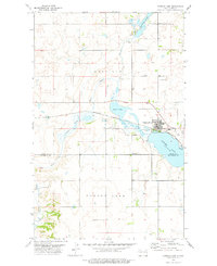
1977 · Powers Lake
USGS Topo · 1:24,000
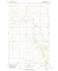
1978 · Battleview
USGS Topo · 1:24,000
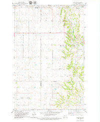
1979 · Tioga SE
USGS Topo · 1:24,000
1979 · Tioga SW
USGS Topo · 1:24,000
1979 · Tioga
USGS Topo · 1:24,000
1981 · Manitou
USGS Topo · 1:24,000