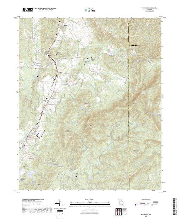
2024 Map of White East
USGS Topo · Published 2024About this map
Pine Log Mountain and the surrounding peaks of the Blue Ridge foothills dominate the skyline of northeastern Bartow County. This map shows the intersection of upland topography and the valley settlements of White, Rydal, and Sugar Hill. The area is characterized by numerous small drainage basins, including Stamp Creek and Pine Log Creek, which flow through the gaps between ridges such as Red Mtn and Hanging Mtn. The landscape is deeply tied to its rural heritage, evidenced by the high concentration of community landmarks such as Pine Log Methodist Church Cem and Millers Chapel Cem. The CSX railroad corridor provides a modern industrial contrast to the older agricultural and mountain tracts, tracing the western edge of the highlands through Bolivar. Higher elevations like Bear Mtn remain largely undeveloped, while the valleys show a network of local roads such as Old State Hwy NE connecting family-named cemeteries and small lakes.
Find a feature on this map
107 named features on this map. Tap any name to fly to it.
Don’t see what you’re looking for? This feature index may not catch every label — zoom into the map to look around manually.
Map Details
Editions of this 2024 White East Map
This is the sole edition of this map. No revisions or reprints were ever made.
Other maps of this area

1890 · Cartersville
USGS Topo · 1:125,000

1891 · Cartersville
USGS Topo · 1:125,000

1896 · Cartersville
USGS Topo · 1:125,000

1906 · Stilesboro
USGS Topo · 1:62,500

1907 · Acworth
USGS Topo · 1:62,500

1908 · Stilesboro
USGS Topo · 1:62,500

1909 · Acworth
USGS Topo · 1:62,500

1941 · Adairsville
USGS Topo · 1:62,500

1944 · Adairsville
USGS Topo · 1:62,500

1947 · Waleska
USGS Topo · 1:62,500