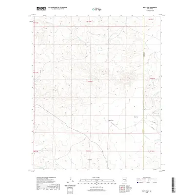
2020 Map of White Flat
USGS Topo · Published 2020About this map
White Flat serves as the focal point of this arid landscape along the border of Lincoln and Chaves counties. The terrain is defined by a series of drainage networks, most notably Middle Arroyo and Walnut Draw, which carve through the high desert toward the southern reach of Cedar Hill. This 2020 survey illustrates a landscape heavily managed for water catchment, identified by numerous named stock ponds such as Big Joe Tank, Little Joe Tank, and Gavilan Tank.
Find a feature on this map
24 named features on this map. Tap any name to fly to it.
Don’t see what you’re looking for? This feature index may not catch every label — zoom into the map to look around manually.
Map Details
Editions of this 2020 White Flat Map
This is the sole edition of this map. No revisions or reprints were ever made.
Other maps of this area

1936 · Arabela
USGS Topo · 1:48,000

1942 · Arabela
USGS Topo · 1:62,500

1955 · Roswell
USGS Topo · 1:250,000

1958 · Roswell
USGS Topo · 1:250,000

1962 · Roswell
USGS Topo · 1:250,000

1967 · Round Mountain SE
USGS Topo · 1:24,000

1967 · North Lake
USGS Topo · 1:24,000

1967 · White Flat
USGS Topo · 1:24,000
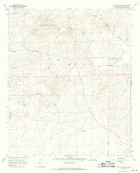
1967 · White Flat SE
USGS Topo · 1:24,000
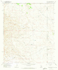
1967 · Elsie Canyon
USGS Topo · 1:24,000