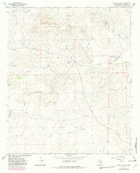
1967 Map of White Flat SE
USGS Topo · Published 1982About this map
High desert ranching operations and water management systems define this section of Chaves County. Surveyed in the late 1960s with updates into the early 1980s, the landscape is anchored by established family outposts like Corn Ranch, Childress Ranch, and Koy Ranch. These settlements represent the hardscrabble livestock economy of the region, where survival depended on a network of isolated water sources such as Middle Arroyo Well, Big Creek Windmill, and the Rock Tank Well.
Find a feature on this map
16 named features on this map. Tap any name to fly to it.
Don’t see what you’re looking for? This feature index may not catch every label — zoom into the map to look around manually.
Map Details
Editions of this 1967 White Flat SE Map
2 editions found
Other maps of this area

1949 · Corn Ranch
USGS Topo · 1:24,000

1950 · Corn Ranch
USGS Topo · 1:24,000

1955 · Roswell
USGS Topo · 1:250,000

1958 · Roswell
USGS Topo · 1:250,000

1962 · Roswell
USGS Topo · 1:250,000

1962 · Horseshoe Bend
USGS Topo · 1:62,500

1962 · Rock House Canyon
USGS Topo · 1:24,000
1963 · Barn Draw
USGS Topo · 1:24,000

1967 · White Flat
USGS Topo · 1:24,000
1967 · White Flat SE
USGS Topo · 1:24,000