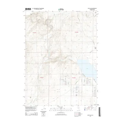
2014 Map of White Flats
USGS Topo · Published 2014About this map
The South Fork Humboldt River carves through this Elko County landscape, feeding into the S Fork Reservoir at the base of the Elko Hills. This 2014 survey captures a period of modern rural development in the White Flats and South Fork Valley areas, where a grid of residential streets like Sherman Ave and Stillwell Ave meet the open range. The geography is defined by its transition from high hills to alluvial flats, with Dixie Cr and Tenmile Cr draining toward the reservoir. Local history is etched into the road names, including the Hamilton Stage Rd and Lucky Nugget Rd, which trace the path of earlier transit and ranching across Dixie Flats. The map highlights the intersection of public recreation at the reservoir and the ongoing residential expansion north of the Dixie Hills.
Find a feature on this map
52 named features on this map. Tap any name to fly to it.
Don’t see what you’re looking for? This feature index may not catch every label — zoom into the map to look around manually.
Map Details
Editions of this 2014 White Flats Map
This is the sole edition of this map. No revisions or reprints were ever made.
Other maps of this area

1952 · Dixie Flats
USGS Topo · 1:62,500

1955 · Elko
USGS Topo · 1:250,000

1957 · Elko West
USGS Topo · 1:24,000

1957 · Elko East
USGS Topo · 1:24,000

1958 · Elko
USGS Topo · 1:250,000

1958 · Hunter
USGS Topo · 1:24,000

1962 · Elko
USGS Topo · 1:250,000
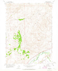
1962 · Hunter
USGS Topo · 1:24,000
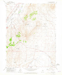
1962 · Elko East
USGS Topo · 1:24,000
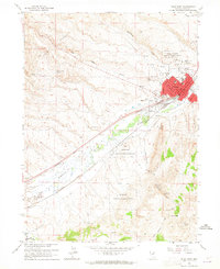
1962 · Elko West
USGS Topo · 1:24,000