
2018 Map of White Flats
USGS Topo · Published 2018About this map
White Flats serves as a central hub of development in this Nevada high-desert landscape, where the South Fork Reservoir and its surrounding topography dictate the local settlement pattern. The terrain transition is sharp between the rising Elko Hills to the north and the broad expanses of Dixie Flats to the south. Water management and recreational access are evident through the network of drainage systems including Tenmile Cr, Dixie Cr, and Crane Stream, all feeding into the larger riparian corridor of the South Fork Humboldt River. The residential grid in the southern quadrant features streets named for prominent historical figures, such as Eisenhower Ave and Patton Ave, while older transit routes like Hamilton Stage Rd and Bullion Rd suggest the area's legacy as a thoroughfare for early western commerce and mining transport.
Find a feature on this map
61 named features on this map. Tap any name to fly to it.
Don’t see what you’re looking for? This feature index may not catch every label — zoom into the map to look around manually.
Map Details
Editions of this 2018 White Flats Map
This is the sole edition of this map. No revisions or reprints were ever made.
Other maps of this area

1952 · Dixie Flats
USGS Topo · 1:62,500

1955 · Elko
USGS Topo · 1:250,000

1957 · Elko West
USGS Topo · 1:24,000

1957 · Elko East
USGS Topo · 1:24,000

1958 · Elko
USGS Topo · 1:250,000

1958 · Hunter
USGS Topo · 1:24,000

1962 · Elko
USGS Topo · 1:250,000
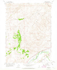
1962 · Hunter
USGS Topo · 1:24,000
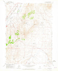
1962 · Elko East
USGS Topo · 1:24,000
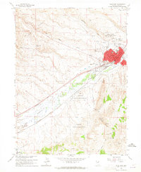
1962 · Elko West
USGS Topo · 1:24,000