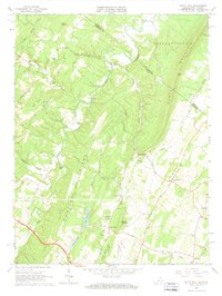
1965 Map of White Hall
USGS Topo · Published 1967About this map
North Mountain and Apple Pie Ridge define the ridgeline-and-valley geography along the border of Frederick County, Virginia, and Berkeley County, West Virginia. This 1965 survey documents a landscape of scattered rural crossroads and agricultural runs just prior to the expansion of regional infrastructure. Notable concentrations of early community life are visible at White Hall, Green Spring, and De Haven, where numerous country churches like Pine Grove Ch and Howard Chapel serve the local population.
Find a feature on this map
50 named features on this map. Tap any name to fly to it.
Don’t see what you’re looking for? This feature index may not catch every label — zoom into the map to look around manually.
Map Details
Editions of this 1965 White Hall Map
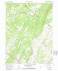
2 editions found
Other maps of this area

1894 · Winchester
USGS Topo · 1:125,000

1914 · Gerrardstown
USGS Topo · 1:48,000

1916 · Gerrardstown
USGS Topo · 1:62,500

1916 · Capon Bridge
USGS Topo · 1:62,500

1923 · Middletown
USGS Topo · 1:62,500

1923 · Capon Bridge
USGS Topo · 1:62,500

1937 · Capon Bridge
USGS Topo · 1:48,000

1937 · Gerrardstown
USGS Topo · 1:48,000

1937 · Middletown
USGS Topo · 1:48,000

1938 · Winchester
USGS Topo · 1:48,000