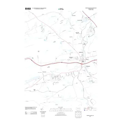
2013 Map of White Haven
USGS Topo · Published 2013About this map
White Haven serves as the central hub of this terrain, situated at a strategic bend in the Lehigh River where industrial and residential sectors converge. The landscape is defined by the steep relief of the Lehigh Gorge and the sprawling Green Mountain, which together have historically dictated the paths of transportation and settlement. The map reveals a high concentration of water-based residential developments, such as those around Penn Lake and Sunrise Lake, contrasting with the more dispersed mountain hamlets like Moosehead and Sandy Run.
Find a feature on this map
137 named features on this map. Tap any name to fly to it.
Don’t see what you’re looking for? This feature index may not catch every label — zoom into the map to look around manually.
Map Details
Editions of this 2013 White Haven Map
This is the sole edition of this map. No revisions or reprints were ever made.
Other maps of this area

1889 · Hazleton
USGS Topo · 1:62,500

1891 · Wilkesbarre
USGS Topo · 1:62,500

1891 · Hazleton
USGS Topo · 1:62,500

1893 · Hazleton
USGS Topo · 1:62,500

1894 · Wilkesbarre
USGS Topo · 1:62,500

1922 · Mauch Chunk
USGS Topo · 1:62,500

1922 · Stoddartsville
USGS Topo · 1:62,500

1924 · Stoddartsville
USGS Topo · 1:62,500

1924 · Mauch Chunk
USGS Topo · 1:62,500

1943 · Scranton
USGS Topo · 1:125,000