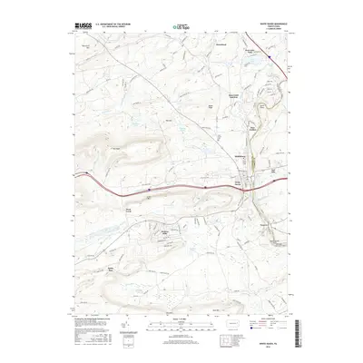
2016 Map of White Haven
USGS Topo · Published 2016About this map
White Haven and the Lehigh River corridor form the focal point of this 2016 survey, documenting the geography of the Luzerne and Carbon County border. The rugged mountain landscape is defined by Nescopeck Mountain to the north and Buck Mountain to the south, with the Lehigh Gorge Scenic Railway tracing the river's winding path through the Lehigh Gorge. This era of the landscape shows a mix of older rail-side settlements like Tannery and Bear Creek Junction alongside established residential communities such as Hickory Hills and Penn Lake Park.
Find a feature on this map
135 named features on this map. Tap any name to fly to it.
Don’t see what you’re looking for? This feature index may not catch every label — zoom into the map to look around manually.
Map Details
Editions of this 2016 White Haven Map
This is the sole edition of this map. No revisions or reprints were ever made.
Other maps of this area

1889 · Hazleton
USGS Topo · 1:62,500

1891 · Wilkesbarre
USGS Topo · 1:62,500

1891 · Hazleton
USGS Topo · 1:62,500

1893 · Hazleton
USGS Topo · 1:62,500

1894 · Wilkesbarre
USGS Topo · 1:62,500

1922 · Mauch Chunk
USGS Topo · 1:62,500

1922 · Stoddartsville
USGS Topo · 1:62,500

1924 · Stoddartsville
USGS Topo · 1:62,500

1924 · Mauch Chunk
USGS Topo · 1:62,500

1943 · Scranton
USGS Topo · 1:125,000