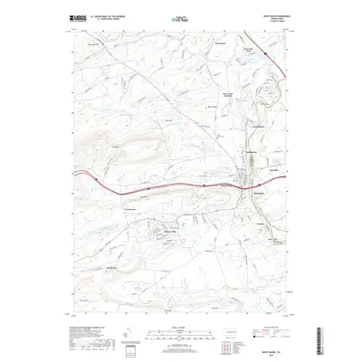
2019 Map of White Haven
USGS Topo · Published 2019About this map
The Lehigh River carves through the landscape of the Lehigh Gorge, defining the border between Luzerne Co and Carbon Co. This 2019 survey documents the borough of White Haven and its surrounding clusters of community, such as East Side and Bridgeport. The area's settlement pattern is a mixture of established urban centers and residential developments like Penn Lake Park and Hickory Hills. To the west, the steep ridges of Nescopeck Mtn and Mt Yeager dominate the terrain, separated by Long Hollow.
Find a feature on this map
153 named features on this map. Tap any name to fly to it.
Don’t see what you’re looking for? This feature index may not catch every label — zoom into the map to look around manually.
Map Details
Editions of this 2019 White Haven Map
This is the sole edition of this map. No revisions or reprints were ever made.
Other maps of this area

1889 · Hazleton
USGS Topo · 1:62,500

1891 · Wilkesbarre
USGS Topo · 1:62,500

1891 · Hazleton
USGS Topo · 1:62,500

1893 · Hazleton
USGS Topo · 1:62,500

1894 · Wilkesbarre
USGS Topo · 1:62,500

1922 · Mauch Chunk
USGS Topo · 1:62,500

1922 · Stoddartsville
USGS Topo · 1:62,500

1924 · Stoddartsville
USGS Topo · 1:62,500

1924 · Mauch Chunk
USGS Topo · 1:62,500

1943 · Scranton
USGS Topo · 1:125,000