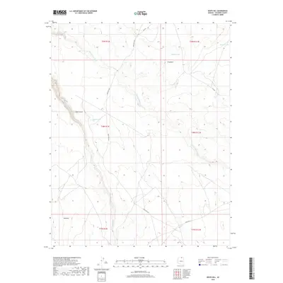
2018 Map of White Hill
USGS Topo · Published 2018About this map
Starting Water Wash and the surrounding high desert terrain of the Kaibito Plateau characterize this 2018 survey of Coconino County. The map documents a landscape defined by significant drainage features and elevation shifts, most notably at Gray Mesa and the depths of Chaol Canyon. Water management is essential in this arid environment, evidenced by isolated catchments such as Dejolie Tank, Wooded Tank, and Red Dirt Tank. Transportation in the area relies on a network of tribal routes, including Indian Rte 6330 and Indian Rte 22, which provide access across the vast open spaces near Red Bluff. The mapping captures the modern intersection of traditional Navajo Nation lands with current geospatial data, preserving the specific locations of named washes and crossings.
Find a feature on this map
18 named features on this map. Tap any name to fly to it.
Don’t see what you’re looking for? This feature index may not catch every label — zoom into the map to look around manually.
Map Details
Editions of this 2018 White Hill Map
This is the sole edition of this map. No revisions or reprints were ever made.
Other maps of this area

1883 · Marsh Pass
USGS Topo · 1:250,000

1886 · Echo Cliffs
USGS Topo · 1:250,000

1891 · Echo Cliffs
USGS Topo · 1:250,000

1892 · Marsh Pass
USGS Topo · 1:250,000

1954 · Navajo Creek
USGS Topo · 1:62,500

1956 · Marble Canyon
USGS Topo · 1:250,000

1959 · Marble Canyon
USGS Topo · 1:250,000

1961 · Marble Canyon
USGS Topo · 1:250,000

1970 · Square Butte
USGS Topo · 1:24,000
1970 · Chaiyahi Rim SW
USGS Topo · 1:24,000