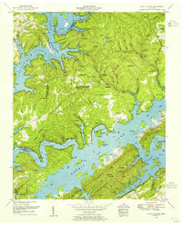
1952 Map of White Hollow
USGS Topo · Published 1955About this map
Norris Lake dominates this landscape, its fingers reaching deep into the hollows of the Dividing Ridge and Big Ridge. In the early 1950s, the area reflects the significant changes brought by the Tennessee Valley Authority, with the inundated valleys of the Clinch River and Powell River creating numerous islands such as Bear Hole Island and Wood Duck Island. The terrain remains dotted with legacy sites from the pre-dam era, including a high concentration of family burial grounds like Lays Cemetery and Longmire Cemetery. Recreation and conservation efforts are evident in the sprawling Chuck Swan Central Management Area and Big Ridge State Park. Further inland, the settlement of Lindamood and landmarks like the Hickory Star Boat Dock and Boy Scout Camp illustrate the post-war shift toward lake-centered life and forest management.
Find a feature on this map
69 named features on this map. Tap any name to fly to it.
Don’t see what you’re looking for? This feature index may not catch every label — zoom into the map to look around manually.
Map Details
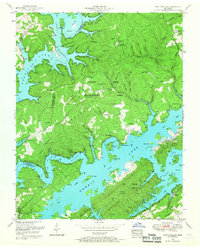
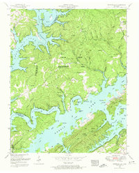
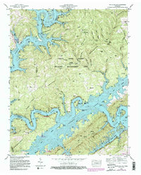
Editions of this 1952 White Hollow Map
4 editions found
Other maps of this area

1893 · Briceville
USGS Topo · 1:125,000

1895 · Briceville
USGS Topo · 1:125,000

1896 · Briceville
USGS Topo · 1:125,000

1897 · Maynardville
USGS Topo · 1:125,000

1900 · Maynardville
USGS Topo · 1:125,000

1935 · Graveston
USGS Topo · 1:24,000

1935 · Well Spring
USGS Topo · 1:24,000

1936 · Gorryton
USGS Topo · 1:48,000

1936 · Ausmus
USGS Topo · 1:24,000

1936 · White Hollow
USGS Topo · 1:24,000