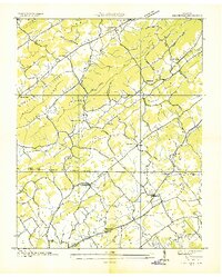
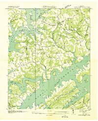
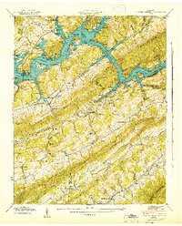
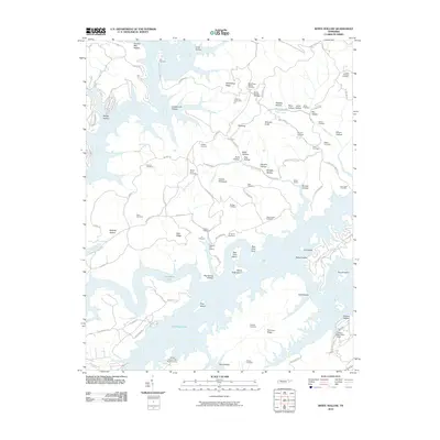
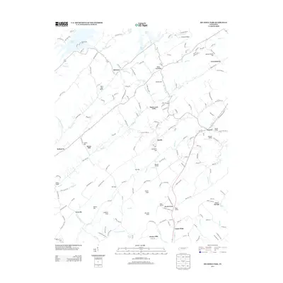
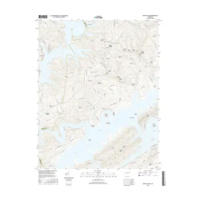
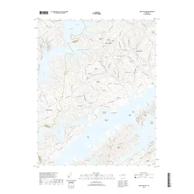
1952 Map of White Hollow
USGS Topo · Published 1987About this map
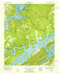
Norris Lake dominates this 1952 revision, where the impounded waters of the Powell River and Clinch River wind through a complex system of ridges and hollows. The map illustrates a landscape transitioned into public management, centered on the Chuck Swan Forest and Wildlife Management Area and the Big Ridge State Park. Despite the inundation of many lower-lying areas, the higher ground preserves a wealth of genealogical markers, including numerous family burial grounds like the Lindamood Cem, McCarty Cem, and Farris Cem.
Find a feature on this map
82 named features on this map. Tap any name to fly to it.
Don’t see what you’re looking for? This feature index may not catch every label — zoom into the map to look around manually.
Map Details
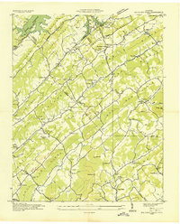
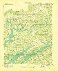
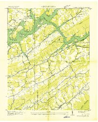
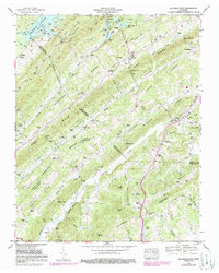
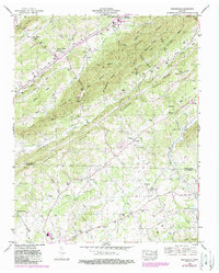
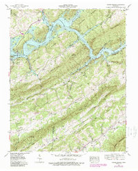
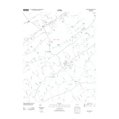
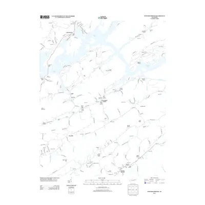
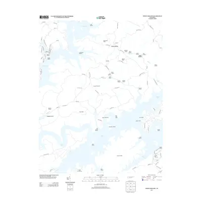
Editions of this 1952 White Hollow Map
4 editions found
Historical Maps of Alder Through Time
33 maps found
1935 Graveston
Union County, TN
1936 Big Ridge Park
Union County, TN
1936 Mc Lean Rock
Union County, TN
1936 Powder Springs
Union County, TN
1936 White Hollow
Union County, TN
1941 Big Ridge Park
Union County, TN
1941 Graveston
Union County, TN
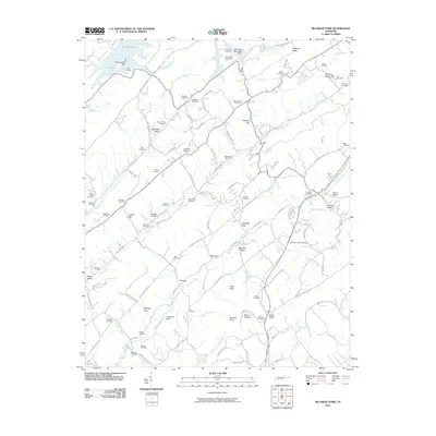
1941 White Hollow
Union County, TN
1942 Powder Springs
Union County, TN
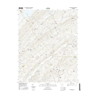
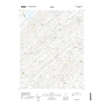
1952 Big Ridge Park
Union County, TN
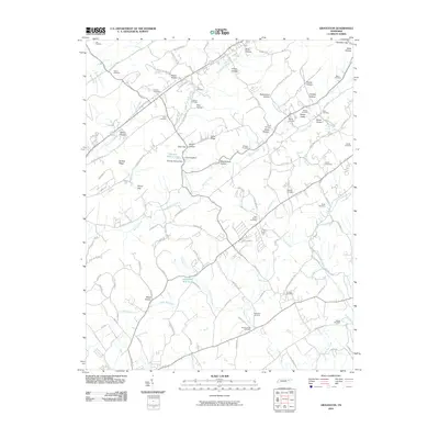
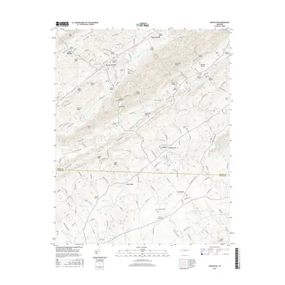
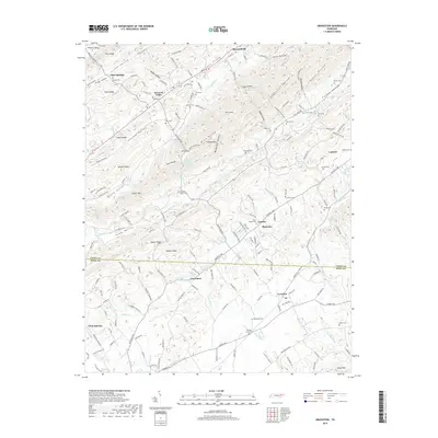
1952 Graveston
Union County, TN
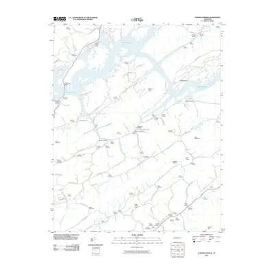
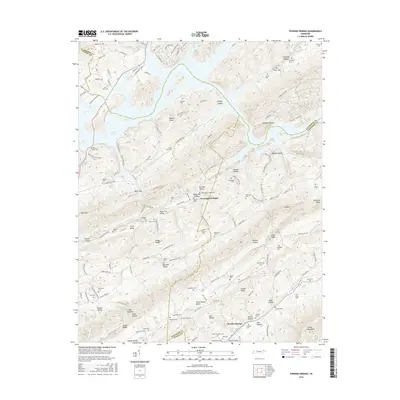
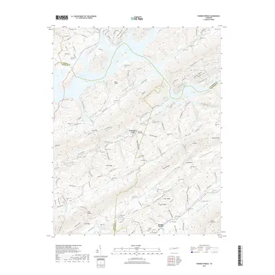
1952 Powder Springs
Union County, TN
1952 White Hollow
Union County, TN
2010 Big Ridge Park
Union County, TN
2010 Graveston
Union County, TN
2010 Powder Springs
Union County, TN
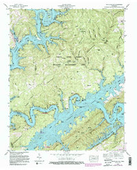
2010 White Hollow
Union County, TN
2013 Big Ridge Park
Union County, TN
2013 Graveston
Union County, TN
2013 Powder Springs
Union County, TN
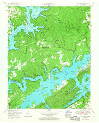
2013 White Hollow
Union County, TN
2016 Big Ridge Park
Union County, TN
2016 Graveston
Union County, TN
2016 Powder Springs
Union County, TN
2016 White Hollow
Union County, TN
2019 Big Ridge Park
Union County, TN
2019 Graveston
Union County, TN
2019 Powder Springs
Union County, TN
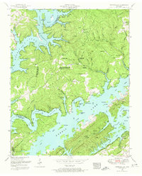
2019 White Hollow
Union County, TN
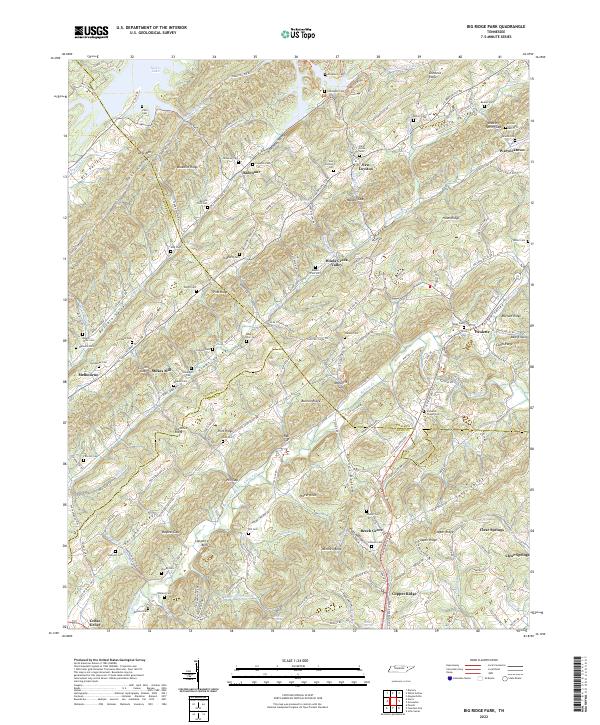
2022 Big Ridge Park
Union County, TN
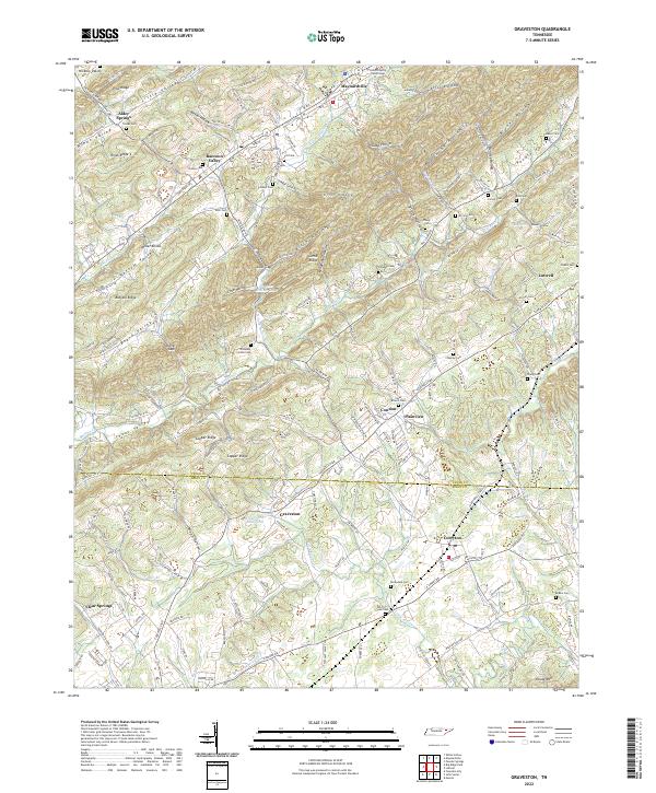
2022 Graveston
Union County, TN
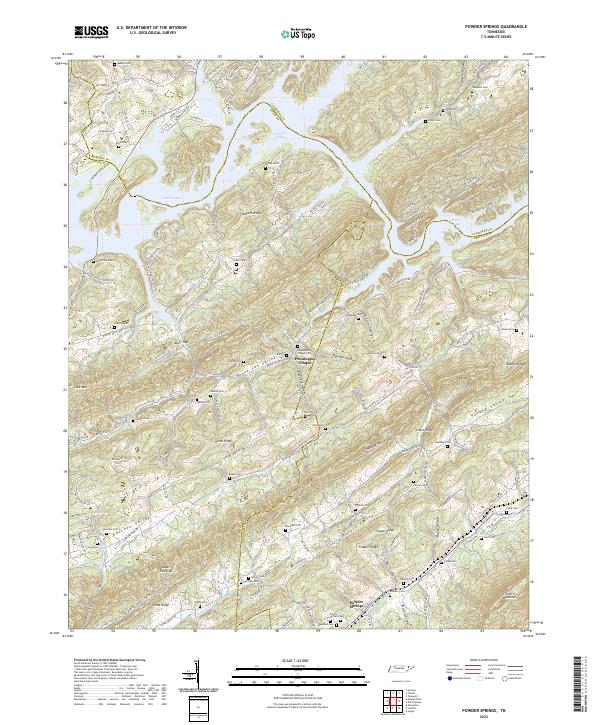
2022 Powder Springs
Union County, TN
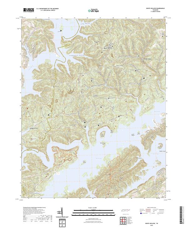
2022 White Hollow
Union County, TN