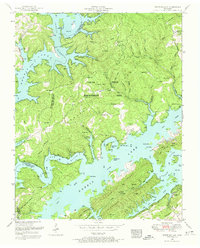
1952 Map of White Hollow
USGS Topo · Published 1974About this map
Norris Lake dominates the center of this Tennessee landscape, where the rising waters of the mid-20th century transformed the confluence of the Powell River and Clinch River. The map reveals a transition toward conservation and recreation, evidenced by the large Chuck Swan Management Area and Big Ridge State Park. Despite these changes, the terrain remains deeply marked by its earlier upland settlement patterns. Numerous family burial grounds, such as Lays Cemetery, Albright Cemetery, and Longmire Cemetery, are scattered across ridges like Dividing Ridge and Big Ridge. Small communities like Lindamood and Walnut Grove appear alongside numerous named hollows, including Shelby Hollow and Lindamood Hollow. The presence of the Hickory Star Boat Dock and several scout camps highlights the early development of the reservoir for public use following the Tennessee Valley Authority's engineering projects.
Find a feature on this map
76 named features on this map. Tap any name to fly to it.
Don’t see what you’re looking for? This feature index may not catch every label — zoom into the map to look around manually.
Map Details
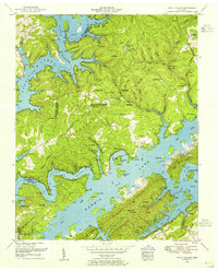
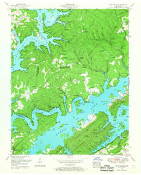
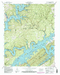
Editions of this 1952 White Hollow Map
4 editions found
Other maps of this area

1893 · Briceville
USGS Topo · 1:125,000

1895 · Briceville
USGS Topo · 1:125,000

1896 · Briceville
USGS Topo · 1:125,000

1897 · Maynardville
USGS Topo · 1:125,000

1900 · Maynardville
USGS Topo · 1:125,000

1935 · Graveston
USGS Topo · 1:24,000

1935 · Well Spring
USGS Topo · 1:24,000

1936 · Gorryton
USGS Topo · 1:48,000

1936 · Ausmus
USGS Topo · 1:24,000

1936 · White Hollow
USGS Topo · 1:24,000