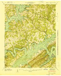
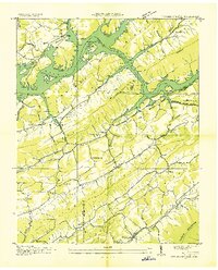
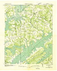
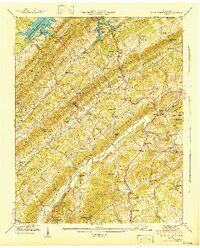
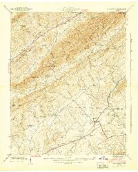
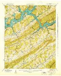
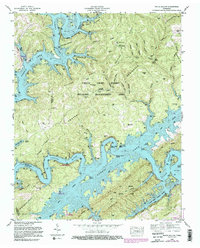
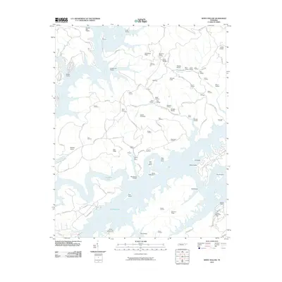
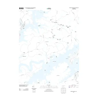
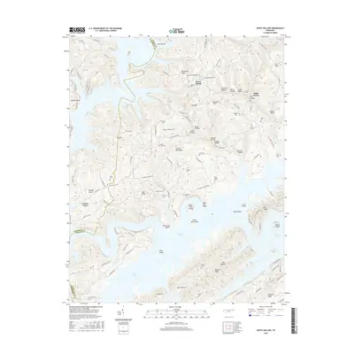
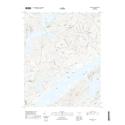
1941 Map of White Hollow
USGS Topo · Published 1941About this map
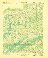
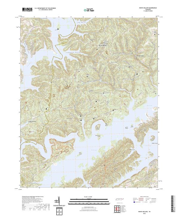
Norris Reservoir dominates this 1941 survey, where the rising waters of the Clinch River and Powell River reshape the ridge-and-valley landscape of Union and Campbell Counties. The map captures a moment of massive federal transformation, featuring CCC Camp No. 492 (TVA 46) and a Boy Scout Camp along the developing shoreline. Despite the engineering shift, the map preserves the older rural fabric of the White Hollow area, documenting numerous family cemeteries such as Mc Carty Cem, Bridges Cem, and Wilson Cem.
Find a feature on this map
47 named features on this map. Tap any name to fly to it.
Don’t see what you’re looking for? This feature index may not catch every label — zoom into the map to look around manually.
Map Details
Editions of this 1941 White Hollow Map
This is the sole edition of this map. No revisions or reprints were ever made.
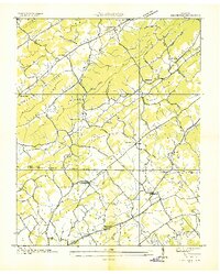
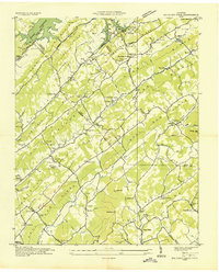
Historical Maps of Alder Through Time
33 maps found
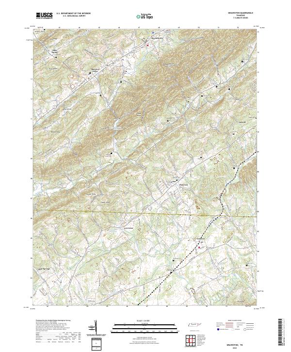
1935 Graveston
Union County, TN
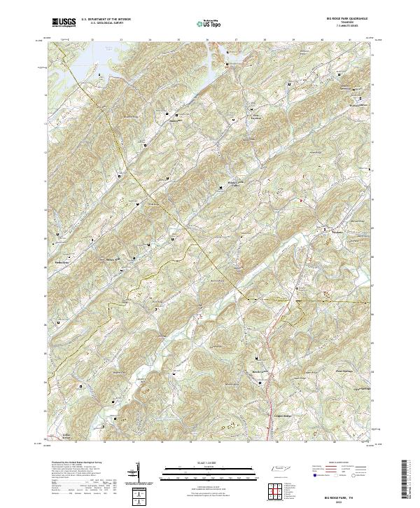
1936 Big Ridge Park
Union County, TN
1936 Mc Lean Rock
Union County, TN
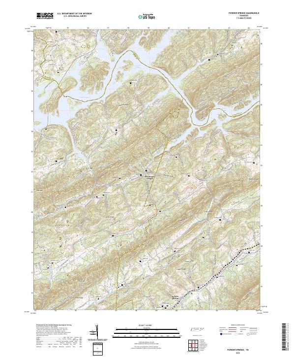
1936 Powder Springs
Union County, TN
1936 White Hollow
Union County, TN
1941 Big Ridge Park
Union County, TN
1941 Graveston
Union County, TN
1941 White Hollow
Union County, TN
1942 Powder Springs
Union County, TN
1952 Big Ridge Park
Union County, TN
1952 Graveston
Union County, TN
1952 Powder Springs
Union County, TN
1952 White Hollow
Union County, TN
2010 Big Ridge Park
Union County, TN
2010 Graveston
Union County, TN
2010 Powder Springs
Union County, TN
2010 White Hollow
Union County, TN
2013 Big Ridge Park
Union County, TN
2013 Graveston
Union County, TN
2013 Powder Springs
Union County, TN
2013 White Hollow
Union County, TN
2016 Big Ridge Park
Union County, TN
2016 Graveston
Union County, TN
2016 Powder Springs
Union County, TN
2016 White Hollow
Union County, TN
2019 Big Ridge Park
Union County, TN
2019 Graveston
Union County, TN
2019 Powder Springs
Union County, TN
2019 White Hollow
Union County, TN
2022 Big Ridge Park
Union County, TN
2022 Graveston
Union County, TN
2022 Powder Springs
Union County, TN
2022 White Hollow
Union County, TN