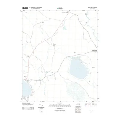
2010 Map of White Lake
USGS Topo · Published 2010About this map
Bay Tree Lake and White Lake anchor this 2010 USGS study of southeastern North Carolina, showcasing the distinct Carolina Bay geological formations of the region. The landscape is a network of water and family-named landmarks, where the South River defines the eastern boundary and Colly Creek meanders through the central lowlands. Genealogists will find a wealth of specific data points, as the area is dotted with family burial grounds including Sand Hill Cemetery, the Marshburn Cemeteries, and Carroll Cemetery.
Find a feature on this map
46 named features on this map. Tap any name to fly to it.
Don’t see what you’re looking for? This feature index may not catch every label — zoom into the map to look around manually.
Map Details
Editions of this 2010 White Lake Map
This is the sole edition of this map. No revisions or reprints were ever made.
Other maps of this area

1953 · Florence
USGS Topo · 1:250,000

1954 · Florence
USGS Topo · 1:250,000

1954 · White Lake
USGS Topo · 1:62,500

1955 · Elizabethtown
USGS Topo · 1:62,500

1959 · Roseboro
USGS Topo · 1:62,500

1959 · Garland
USGS Topo · 1:62,500

1982 · Elizabethtown
USGS Topo · 1:100,000
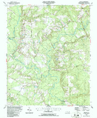
1986 · Ingold
USGS Topo · 1:24,000
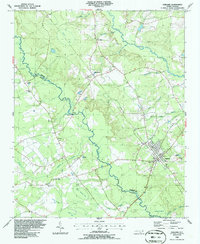
1986 · Garland
USGS Topo · 1:24,000
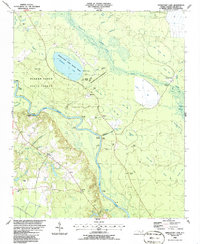
1986 · Singletary Lake
USGS Topo · 1:24,000