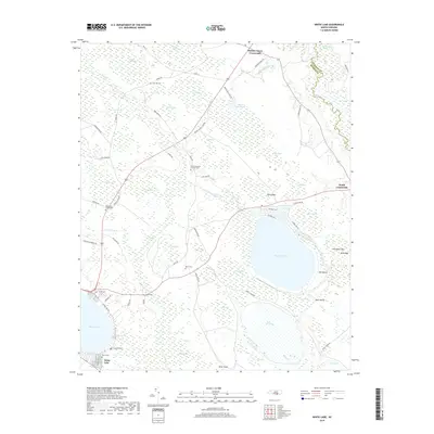
2019 Map of White Lake
USGS Topo · Published 2019About this map
Bay Tree Lake and its distinctive carolina bay geography dominate this coastal plain landscape. The terrain is characterized by numerous elliptical depressions such as Cotton Patch Bay, Marshall Bay, and Chingiapin Bay, which influence the local drainage patterns of Colly Cr and Little Colly Cr. This 2019 survey documents a rural environment where land use is closely tied to the wetland systems, including Johns Swamp and Kerr Marsh near the South River boundary.
Find a feature on this map
81 named features on this map. Tap any name to fly to it.
Don’t see what you’re looking for? This feature index may not catch every label — zoom into the map to look around manually.
Map Details
Editions of this 2019 White Lake Map
This is the sole edition of this map. No revisions or reprints were ever made.
Other maps of this area

1953 · Florence
USGS Topo · 1:250,000

1954 · Florence
USGS Topo · 1:250,000

1954 · White Lake
USGS Topo · 1:62,500

1955 · Elizabethtown
USGS Topo · 1:62,500

1959 · Roseboro
USGS Topo · 1:62,500

1959 · Garland
USGS Topo · 1:62,500

1982 · Elizabethtown
USGS Topo · 1:100,000
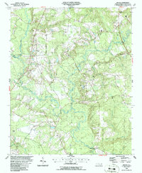
1986 · Ingold
USGS Topo · 1:24,000
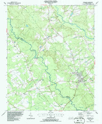
1986 · Garland
USGS Topo · 1:24,000
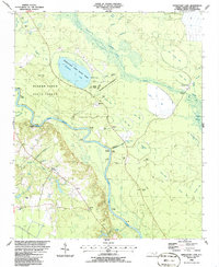
1986 · Singletary Lake
USGS Topo · 1:24,000