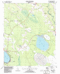
1986 Map of White Lake
USGS Topo · Published 1986About this map
White Lake and the surrounding coastal plain of Bladen County are defined by a series of elliptical depressions known as Carolina Bays. This mid-1980s survey illustrates a landscape dominated by these unique geological formations, including Bay Tree Lake, Marshall Bay, Cotton Patch Bay, and Horsepen Bay. While the western shore of the town of White Lake shows concentrated development with a trailer park and sewage disposal pond, much of the quadrangle remains protected within the Bladen Lakes State Forest. The map documents the local reliance on the land, from the Sandpits near Colly Creek to the various community landmarks like Colly Chapel and Smith Mem Gardens Cem. Along the northeast border, the South River serves as the boundary between Bladen and Sampson counties, featuring traditional river access points such as Boone Field Landing and Church Landing.
Find a feature on this map
52 named features on this map. Tap any name to fly to it.
Don’t see what you’re looking for? This feature index may not catch every label — zoom into the map to look around manually.
Map Details
Editions of this 1986 White Lake Map
This is the sole edition of this map. No revisions or reprints were ever made.
Other maps of this area

1953 · Florence
USGS Topo · 1:250,000

1954 · Florence
USGS Topo · 1:250,000

1954 · White Lake
USGS Topo · 1:62,500

1955 · Elizabethtown
USGS Topo · 1:62,500

1959 · Roseboro
USGS Topo · 1:62,500

1959 · Garland
USGS Topo · 1:62,500

1982 · Elizabethtown
USGS Topo · 1:100,000
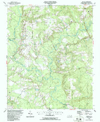
1986 · Ingold
USGS Topo · 1:24,000
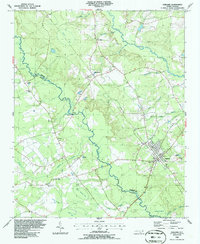
1986 · Garland
USGS Topo · 1:24,000
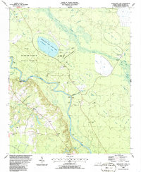
1986 · Singletary Lake
USGS Topo · 1:24,000