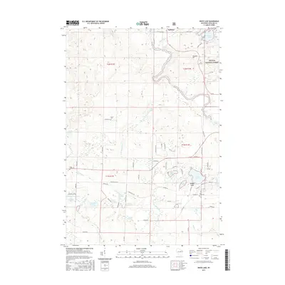
2015 Map of White Lake
USGS Topo · Published 2015About this map
White Lake serves as the primary hub of this eastern Langlade County landscape, where the village is bounded by its namesake White Lake and West Lake. The area's character is defined by the winding Wolf River as it descends through a series of significant whitewater features including Ninemile Rapids, Cedar Rapids, and Burnt Point Rapids. This hydrology is indicative of the region's glacially influenced terrain, punctuated by Ninemile Hill and the vast timberlands of the Nicolet National Forest. Genealogists will find interest in localized landmarks such as Brown Cem and Saint James Cem, while the road network, including Old 55 and Wilson School Rd, traces the historical movement of early residents between the river and the surrounding spring-fed waters like Stillhouse Springs and Galyan Springs.
Find a feature on this map
77 named features on this map. Tap any name to fly to it.
Don’t see what you’re looking for? This feature index may not catch every label — zoom into the map to look around manually.
Map Details
Editions of this 2015 White Lake Map
This is the sole edition of this map. No revisions or reprints were ever made.
Other maps of this area

1942 · Wabeno
USGS Topo · 1:48,000

1942 · Pearson
USGS Topo · 1:48,000

1950 · Wabeno
USGS Topo · 1:48,000

1950 · Lily
USGS Topo · 1:48,000

1951 · Wabeno
USGS Topo · 1:48,000

1952 · White Lake
USGS Topo · 1:48,000

1952 · Langlade
USGS Topo · 1:48,000

1954 · Iron Mountain
USGS Topo · 1:250,000

1959 · Iron Mountain
USGS Topo · 1:250,000
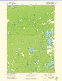
1972 · Reservoir Pond
USGS Topo · 1:24,000