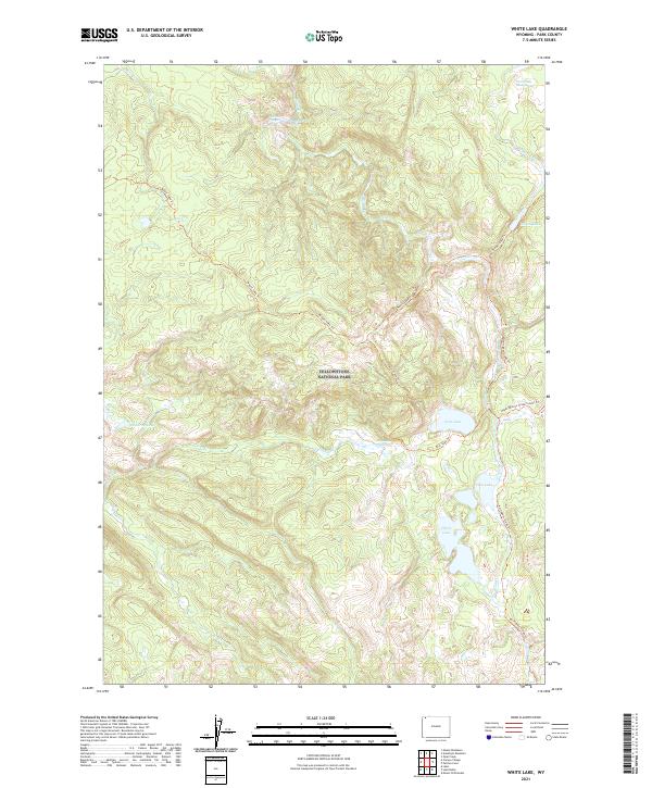
2021 Map of White Lake
USGS Topo · Published 2021About this map
Geothermal features and alpine waterways define this high-elevation landscape within Yellowstone National Park. Hydrothermal activity is concentrated in the northern portion of the quadrangle, where the Hot Spring Basin Group, Josephs Coat Springs, and the Whistler Geyser demonstrate the area's volcanic vitality. These thermal features feed into a drainage system including Moss Cr and Shallow Cr, illustrating how the park's unique geology interacts with its hydrology.
Find a feature on this map
25 named features on this map. Tap any name to fly to it.
Don’t see what you’re looking for? This feature index may not catch every label — zoom into the map to look around manually.
Map Details
Editions of this 2021 White Lake Map
This is the sole edition of this map. No revisions or reprints were ever made.
Other maps of this area

1886 · Canyon
USGS Topo · 1:125,000

1895 · Canyon
USGS Topo · 1:125,000

1896 · Canyon
USGS Topo · 1:125,000

1901 · Canyon
USGS Topo · 1:125,000

1907 · Canyon
USGS Topo · 1:125,000

1911 · Canyon
USGS Topo · 1:125,000

1955 · Ashton
USGS Topo · 1:250,000

1958 · Ashton
USGS Topo · 1:250,000
1959 · Pelican Cone
USGS Topo · 1:62,500
1959 · Canyon Village
USGS Topo · 1:62,500