
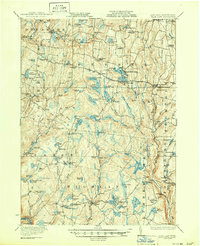
1922 Map of White Lake
USGS Topo · Published 1922About this map
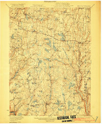
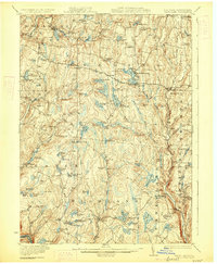
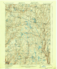
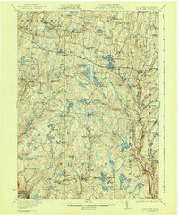
White Lake and Bethel serve as central nodes in this early 1920s landscape of Sullivan County, where a dense network of mountain lakes and small-scale agriculture defined local life. The map reveals a high concentration of community landmarks, including the Stewart Cemetery and Pintler Cemetery, alongside numerous one-room schoolhouses like Hurd School, Bushville School, and Wellstown School. These features indicate a well-established rural social structure just before the region's mid-century transformation.
Find a feature on this map
114 named features on this map. Tap any name to fly to it.
Don’t see what you’re looking for? This feature index may not catch every label — zoom into the map to look around manually.
Map Details
Editions of this 1922 White Lake Map
6 editions found
Other maps of this area

1906 · Port Jervis
USGS Topo · 1:62,500

1908 · Port Jervis
USGS Topo · 1:62,500

1909 · Monticello
USGS Topo · 1:62,500

1910 · Neversink
USGS Topo · 1:62,500

1911 · Monticello
USGS Topo · 1:62,500

1913 · Milford
USGS Topo · 1:62,500

1915 · Milford
USGS Topo · 1:62,500

1920 · Long Eddy
USGS Topo · 1:62,500

1920 · Damascus
USGS Topo · 1:62,500

1921 · Long Eddy
USGS Topo · 1:48,000