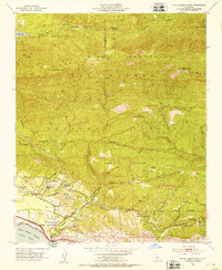
1952 Map of White Ledge Peak
USGS Topo · Published 1953About this map
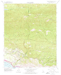
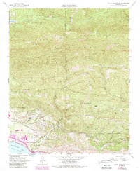
The Santa Ynez Mountains dominate this 1952 coastal survey, where high ridges of the Los Padres National Forest meet the Pacific Ocean at Rincon Pt. This landscape is defined by its agricultural and educational outposts, including the Cate School and several family holdings such as Botello Ranch, Hathaway Ranch, and Laguna Ranch. In the north, the Santa Ynez River flows through Billiard Flats below the Jameson Lake reservoir, while the Southern Pacific railroad skirts the coastline. The map records a specific era of transit across the range via West Casitas Pass and East Casitas Pass, providing a clear view of the drainage patterns of Rincon Creek and Coyote Creek before later 20th-century developments changed the local infrastructure.
Find a feature on this map
46 named features on this map. Tap any name to fly to it.
Don’t see what you’re looking for? This feature index may not catch every label — zoom into the map to look around manually.
Map Details
Editions of this 1952 White Ledge Peak Map
6 editions found
Other maps of this area

1902 · Santa Ynez
USGS Topo · 1:125,000

1903 · Mt. Pinos
USGS Topo · 1:125,000

1904 · Ventura
USGS Topo · 1:62,500

1905 · Santa Ynez
USGS Topo · 1:125,000

1941 · Ventura
USGS Topo · 1:62,500

1942 · Wheeler Springs
USGS Topo · 1:24,000

1943 · Old Man Mountain
USGS Topo · 1:24,000

1943 · Wheeler Springs
USGS Topo · 1:24,000

1943 · Hildreth Peak
USGS Topo · 1:24,000
1944 · Wheeler Springs
USGS Topo · 1:31,680