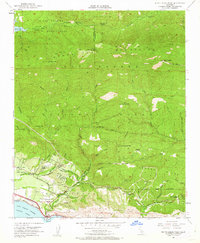
1952 Map of White Ledge Peak
USGS Topo · Published 1962About this map
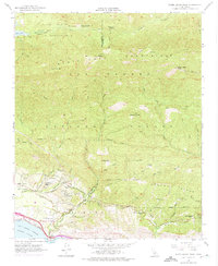
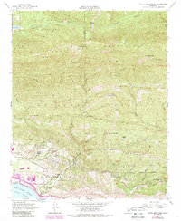
Cate School and the residential clusters of Shepard Mesa sit at the southern edge of the Los Padres National Forest in this 1950s survey. The landscape transitions sharply from the coastal flats near Rincon Pt to the high crests of the Santa Ynez Mountains, including White Ledge Peak and Divide Pk. Transportation and infrastructure are concentrated along the coast, where the Southern Pacific railroad and Casitas Pass Road follow the natural contours of the land.
Find a feature on this map
55 named features on this map. Tap any name to fly to it.
Don’t see what you’re looking for? This feature index may not catch every label — zoom into the map to look around manually.
Map Details
Editions of this 1952 White Ledge Peak Map
6 editions found
Other maps of this area

1902 · Santa Ynez
USGS Topo · 1:125,000

1903 · Mt. Pinos
USGS Topo · 1:125,000

1904 · Ventura
USGS Topo · 1:62,500

1905 · Santa Ynez
USGS Topo · 1:125,000

1941 · Ventura
USGS Topo · 1:62,500

1942 · Wheeler Springs
USGS Topo · 1:24,000

1943 · Old Man Mountain
USGS Topo · 1:24,000

1943 · Wheeler Springs
USGS Topo · 1:24,000

1943 · Hildreth Peak
USGS Topo · 1:24,000
1944 · Wheeler Springs
USGS Topo · 1:31,680