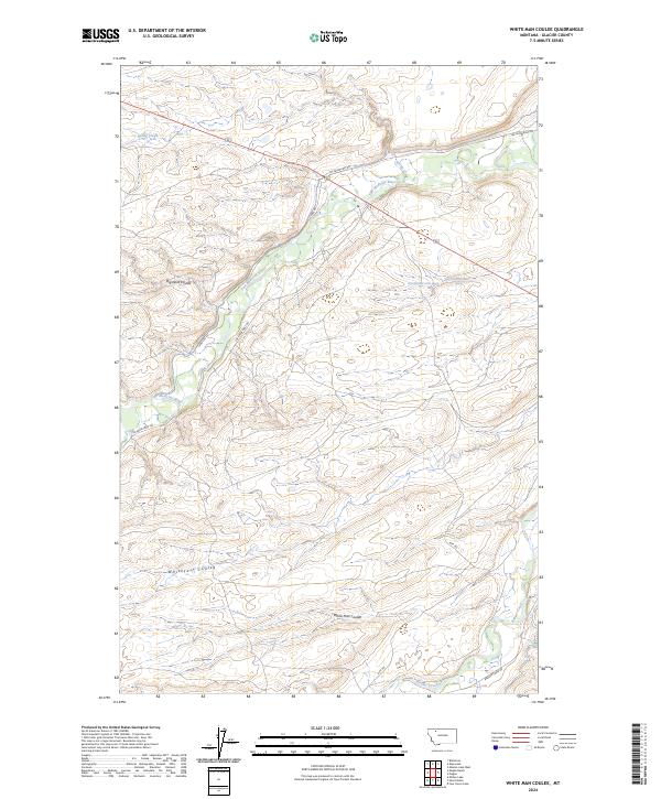
2024 Map of White Man Coulee
USGS Topo · Published 2024About this map
The Two Medicine River meanders across this northern Montana landscape, carving through a series of significant drainage features like Big Nose Coulee and Whitecalf Coulee. The terrain is defined by its watercourses and ranching history, notably centered on the Magee Ranch and the namesake White Man Coulee near the southern boundary. These coulees serve as natural conduits through the high plains, illustrating the erosion patterns of the Glacier County region east of the Rockies.
Find a feature on this map
21 named features on this map. Tap any name to fly to it.
Don’t see what you’re looking for? This feature index may not catch every label — zoom into the map to look around manually.
Map Details
Editions of this 2024 White Man Coulee Map
This is the sole edition of this map. No revisions or reprints were ever made.
Other maps of this area

1911 · Blackfoot
USGS Topo · 1:125,000

1914 · Heart Butte
USGS Topo · 1:125,000

1918 · Heart Butte
USGS Topo · 1:125,000

1960 · Cut Bank
USGS Topo · 1:250,000

1963 · Cut Bank
USGS Topo · 1:250,000

1964 · Cut Bank
USGS Topo · 1:250,000
1968 · Piegan
USGS Topo · 1:24,000

1968 · White Man Coulee
USGS Topo · 1:24,000
1968 · Magee Ranch
USGS Topo · 1:24,000

1968 · Four Horns Lake
USGS Topo · 1:24,000