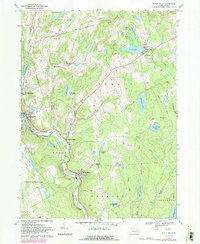
1967 Map of White Mills
USGS Topo · Published 1983About this map
The Lackawaxen River defines the southern movement through this corridor, carving a path past the industrial and residential cluster of White Mills. This landscape is characterized by a high density of recreation and local civic life, shown through numerous summer camps like Camp Munsee and Camp Navajo, alongside essential community structures such as the Beach Lake Sch and St Josephs Ch. Settlement patterns follow the winding creek valleys and ridges, with smaller hamlets like Indian Orchard and Berlin Center serving as local hubs between the more developed areas of East Honesdale and the scattered farmsteads of Smith Hill. The map records a transition in land use, featuring both traditional extraction at the Quarry and modern mid-century leisure landmarks, notably the Drive-in Theater south of Indian Orchard Brook.
Find a feature on this map
62 named features on this map. Tap any name to fly to it.
Don’t see what you’re looking for? This feature index may not catch every label — zoom into the map to look around manually.
Map Details
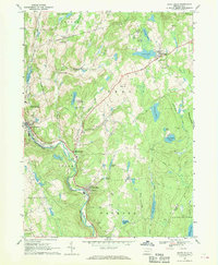
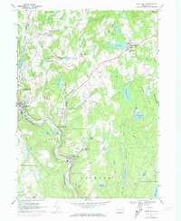
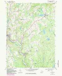
Editions of this 1967 White Mills Map
4 editions found
Other maps of this area

1892 · Honesdale
USGS Topo · 1:62,500

1920 · Damascus
USGS Topo · 1:62,500

1923 · Damascus
USGS Topo · 1:62,500

1928 · Ariel
USGS Topo · 1:62,500

1932 · Ariel
USGS Topo · 1:62,500

1935 · Hawley
USGS Topo · 1:62,500

1938 · Hawley
USGS Topo · 1:62,500

1943 · Honesdale
USGS Topo · 1:125,000

1944 · Damascus
USGS Topo · 1:62,500

1946 · Honesdale
USGS Topo · 1:24,000
Featured Places
- Lackawaxen Township, PA
- Honesdale, PA
- Damascus Township, PA
- Cherry Ridge Township, PA
- Dyberry Township, PA