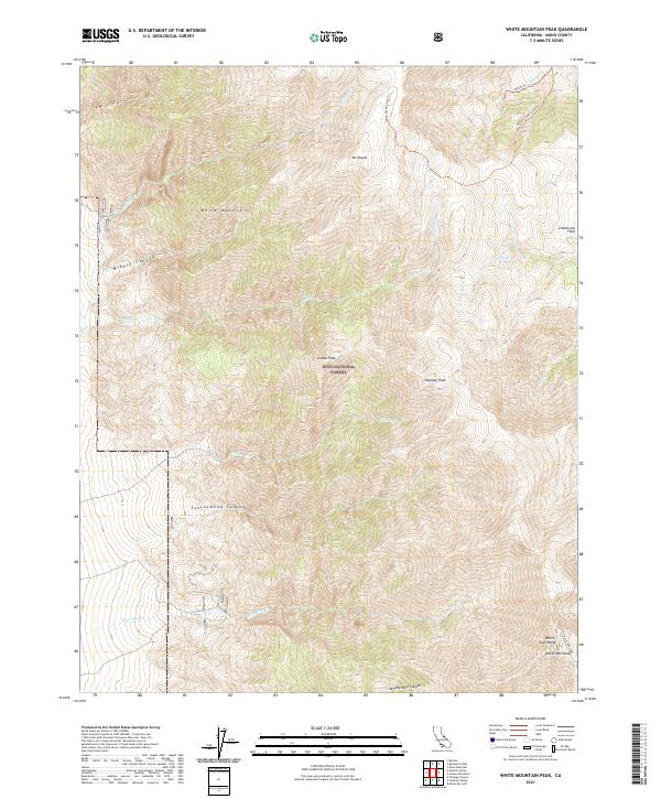
2021 Map of White Mountain Peak
USGS Topo · Published 2021About this map
The White Mountains define this high-altitude landscape, culminating at the prominent White Mtn Peak. Managed by the Inyo National Forest, the terrain is marked by extreme elevation changes and a series of deep drainages including Cottonwood Canyon and Middle Canyon. The hydrology of the area is characterized by seasonal or perennial flow from sources such as Pellisier Cr and Lone Tree Cr, which cut through the steep slopes of the White Inyo Range.
Find a feature on this map
28 named features on this map. Tap any name to fly to it.
Don’t see what you’re looking for? This feature index may not catch every label — zoom into the map to look around manually.
Map Details
Editions of this 2021 White Mountain Peak Map
This is the sole edition of this map. No revisions or reprints were ever made.
Other maps of this area

1917 · White Mountain
USGS Topo · 1:125,000

1947 · Mariposa
USGS Topo · 1:250,000

1948 · Mariposa
USGS Topo · 1:250,000

1957 · Mariposa
USGS Topo · 1:250,000

1962 · Benton
USGS Topo · 1:62,500

1962 · Mt. Barcroft
USGS Topo · 1:62,500

1962 · White Mtn. Peak
USGS Topo · 1:62,500

1963 · Mariposa
USGS Topo · 1:250,000

1963 · Davis Mountain
USGS Topo · 1:62,500
1987 · Juniper Mtn
USGS Topo · 1:24,000