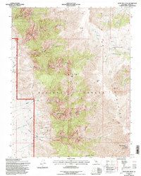
1994 Map of White Mtn. Peak
USGS Topo · Published 1997About this map
White Mountains high-altitude terrain dominates this 1990s survey, defined by the stark transition from valley floors to the scientific outposts of the summit. The White Mtn Research Sta Summit Laboratory University of California stands at the crest, representing decades of atmospheric and biological research. Below the peaks, the landscape is shaped by water management and mineral extraction, featuring an Aqueduct, Ditch, and the Intake Reservoir that channel resources through the arid slopes.
Find a feature on this map
26 named features on this map. Tap any name to fly to it.
Don’t see what you’re looking for? This feature index may not catch every label — zoom into the map to look around manually.
Map Details
Editions of this 1994 White Mtn. Peak Map
This is the sole edition of this map. No revisions or reprints were ever made.
Other maps of this area

1917 · White Mountain
USGS Topo · 1:125,000

1947 · Mariposa
USGS Topo · 1:250,000

1948 · Mariposa
USGS Topo · 1:250,000

1957 · Mariposa
USGS Topo · 1:250,000

1962 · Benton
USGS Topo · 1:62,500

1962 · Mt. Barcroft
USGS Topo · 1:62,500

1962 · White Mtn. Peak
USGS Topo · 1:62,500

1963 · Mariposa
USGS Topo · 1:250,000

1963 · Davis Mountain
USGS Topo · 1:62,500
1987 · Juniper Mtn
USGS Topo · 1:24,000