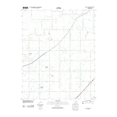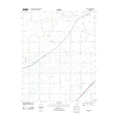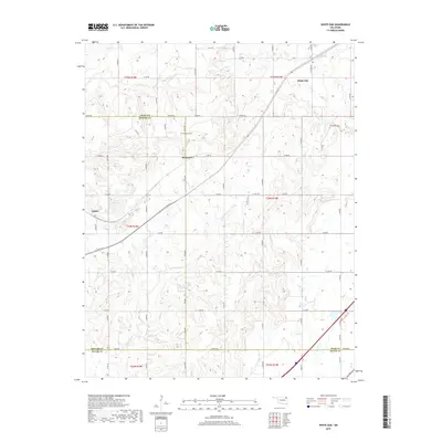
1970 Map of White Oak
USGS Topo · Published 1991About this map
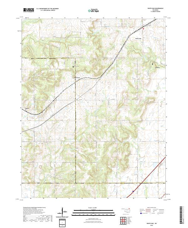
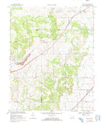
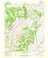
The St Louis-San Francisco railroad cuts a diagonal path across the landscape where Craig and Rogers counties meet. This 1970 snapshot of Northeast Oklahoma shows a region transitioning from its early-century petroleum and mineral roots toward modern transit infrastructure. The Catale Oil Field and scattered mines southwest of Sunsweet indicate the area's industrial past, while the newly established Will Rogers Toll Road Turnpike sweeps across the southern quadrant, signaling a shift in the local transportation network. Local heritage is grounded in landmarks such as White Oak, Council Grove Ch, and Gondry Ch. The topography is defined by the winding paths of Pryor Creek and White Oak Creek, which drain the varied terrain surrounding the small settlements of Catale and Sunsweet, providing a detailed look at the rural character and land use before subsequent decades of development.
Find a feature on this map
30 named features on this map. Tap any name to fly to it.
Don’t see what you’re looking for? This feature index may not catch every label — zoom into the map to look around manually.
Map Details
Editions of this 1970 White Oak Map
2 editions found
Historical Maps of Vinita Through Time
6 maps found