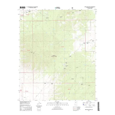
2017 Map of White Oaks South
USGS Topo · Published 2017About this map
White Oaks sits at the northern edge of this high-altitude landscape, a historic settlement defined by its proximity to the mineral-rich slopes of Carrizo Mtn and the Vera Cruz Mountains. The terrain is characterized by a complex network of springs and drainage canyons, such as White Oaks Canyon and Dark Canyon, which have historically sustained ranching and mining operations in this arid region. Much of the central and southern portions of the map are protected within the Lincoln National Forest, where the topography rises sharply toward Carrizo Peak and the Indian Divide. Water remains the most precious resource on the sheet, evidenced by the numerous named sources like Powder Magazine Spring, Coal Dump Spring, and Wells Spring. These features, along with the Cedarvale Cem, provide critical points of reference for those researching the early pioneer and mining history of Lincoln County.
Find a feature on this map
68 named features on this map. Tap any name to fly to it.
Don’t see what you’re looking for? This feature index may not catch every label — zoom into the map to look around manually.
Map Details
Editions of this 2017 White Oaks South Map
This is the sole edition of this map. No revisions or reprints were ever made.
Other maps of this area

1934 · Capitan
USGS Topo · 1:48,000

1937 · Capitan
USGS Topo · 1:62,500

1938 · Carrizozo
USGS Topo · 1:48,000

1943 · Carrizozo
USGS Topo · 1:62,500

1950 · Carrizozo
USGS Topo · 1:62,500

1950 · Little Black Peak
USGS Topo · 1:62,500

1955 · Roswell
USGS Topo · 1:250,000

1958 · Roswell
USGS Topo · 1:250,000

1962 · Roswell
USGS Topo · 1:250,000

1973 · Jacob Spring
USGS Topo · 1:24,000