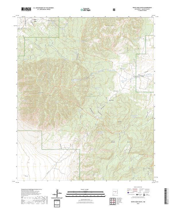
2023 Map of White Oaks South
USGS Topo · Published 2023About this map
White Oaks sits at the northern edge of this high-altitude landscape, a historic mining hub established in the late nineteenth century. The map illustrates a network of trails and resource-gathering points, including the Barber Springs Trl and Trail Canyon Trl, which navigate the complex topography of the Lincoln National Forest. The presence of the Cedarvale Cem and Powder Magazine Spring near the townsite reflects the early infrastructure of this once-booming district.
Find a feature on this map
70 named features on this map. Tap any name to fly to it.
Don’t see what you’re looking for? This feature index may not catch every label — zoom into the map to look around manually.
Map Details
Editions of this 2023 White Oaks South Map
This is the sole edition of this map. No revisions or reprints were ever made.
Other maps of this area

1934 · Capitan
USGS Topo · 1:48,000

1937 · Capitan
USGS Topo · 1:62,500

1938 · Carrizozo
USGS Topo · 1:48,000

1943 · Carrizozo
USGS Topo · 1:62,500

1950 · Carrizozo
USGS Topo · 1:62,500

1950 · Little Black Peak
USGS Topo · 1:62,500

1955 · Roswell
USGS Topo · 1:250,000

1958 · Roswell
USGS Topo · 1:250,000

1962 · Roswell
USGS Topo · 1:250,000

1973 · Jacob Spring
USGS Topo · 1:24,000