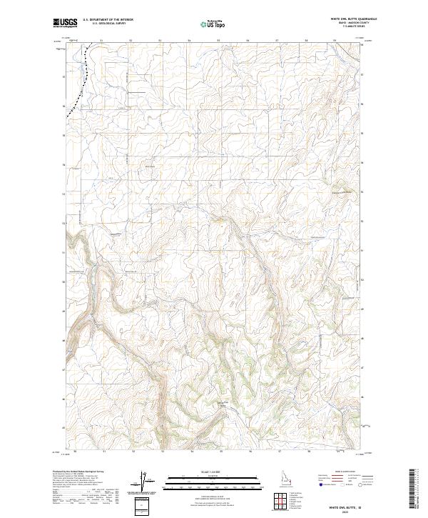
2023 Map of White Owl Butte
USGS Topo · Published 2023About this map
White Owl Butte rises above the high plateau of eastern Idaho, anchoring a landscape defined by volcanic landforms and an intricate irrigation network. This survey of Madison County highlights the vital role of water management in the region, tracing the paths of the Canyon Creek Canal and Enterprise Canal as they navigate the varied elevations of the Snake River Plain. The terrain is marked by distinctive prominences including Bitters Butte and Canyon Creek Butte, which overlook the seasonal drainage of Dry Canyon. A grid of local roads, such as Webster Butte Rd and White Owl Rd, connects the scattered farmsteads and agricultural plots that define the human footprint in this part of the state. The convergence of natural features like Moody Creek and man-made infrastructure reveals the specialized geographic adaptations required for high-altitude ranching and farming in the early 21st century.
Find a feature on this map
25 named features on this map. Tap any name to fly to it.
Don’t see what you’re looking for? This feature index may not catch every label — zoom into the map to look around manually.
Map Details
Editions of this 2023 White Owl Butte Map
This is the sole edition of this map. No revisions or reprints were ever made.
Other maps of this area

1943 · Garns Mtn
USGS Topo · 1:62,500

1946 · Garns Mtn
USGS Topo · 1:62,500

1949 · Newdale
USGS Topo · 1:24,000

1950 · Newdale
USGS Topo · 1:24,000

1950 · St Anthony
USGS Topo · 1:24,000

1951 · Moody
USGS Topo · 1:24,000

1951 · Hawley Gulch
USGS Topo · 1:24,000

1951 · Heise
USGS Topo · 1:24,000

1951 · White Owl Butte
USGS Topo · 1:24,000

1955 · Driggs
USGS Topo · 1:250,000