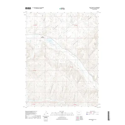
2019 Map of White River City
USGS Topo · Published 2019About this map
White River City and the surrounding high desert terrain of Rio Blanco County are defined by a complex network of canyons and watercourses. The White River winds through the northern portion of the map, feeding into Rio Blanco Lake near the junction of several county roads. This area is characterized by numerous deeply incised drainages, many bearing the names of early settlers or descriptive landmarks, such as Ernie Howard Gulch, Tom Scith Gulch, and Rattlesnake Gulch.
Find a feature on this map
34 named features on this map. Tap any name to fly to it.
Don’t see what you’re looking for? This feature index may not catch every label — zoom into the map to look around manually.
Map Details
Editions of this 2019 White River City Map
This is the sole edition of this map. No revisions or reprints were ever made.
Other maps of this area

1907 · White River
USGS Topo · 1:125,000

1910 · White River
USGS Topo · 1:125,000

1952 · Greasewood Gulch
USGS Topo · 1:24,000

1952 · Square S Ranch
USGS Topo · 1:24,000

1952 · Segar Mountain
USGS Topo · 1:24,000

1954 · Vernal
USGS Topo · 1:250,000

1956 · Grand Junction
USGS Topo · 1:250,000

1958 · Vernal
USGS Topo · 1:250,000

1959 · Grand Junction
USGS Topo · 1:250,000

1960 · Vernal
USGS Topo · 1:250,000