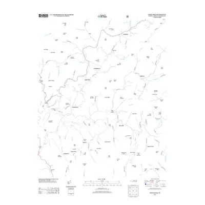
2013 Map of White Rock
USGS Topo · Published 2013About this map
White Rock and the surrounding mountain settlements of Madison County are defined by their position within the steep drainages of the Shelton Laurel Cr and Big Laurel Cr systems. This landscape is a network of small coves and gaps, where communities like Cutshalltown, Spillcorn, and Revere are situated along narrow valley floors. The naming conventions throughout the area reflect the deep local ties to the terrain, with family-named features such as Jarrett Cove, Guntertown, and Lumptown marking the inhabited spaces between the high knobs.
Find a feature on this map
163 named features on this map. Tap any name to fly to it.
Don’t see what you’re looking for? This feature index may not catch every label — zoom into the map to look around manually.
Map Details
Editions of this 2013 White Rock Map
This is the sole edition of this map. No revisions or reprints were ever made.
Other maps of this area

1892 · Greeneville
USGS Topo · 1:125,000

1894 · Asheville
USGS Topo · 1:125,000

1896 · Greeneville
USGS Topo · 1:125,000

1901 · Asheville
USGS Topo · 1:125,000

1904 · Greeneville
USGS Topo · 1:125,000

1935 · Hot Springs
USGS Topo · 1:24,000

1935 · Spring Creek
USGS Topo · 1:24,000

1936 · Marshall
USGS Topo · 1:24,000

1936 · Greystone
USGS Topo · 1:24,000

1936 · Sams Gap
USGS Topo · 1:24,000