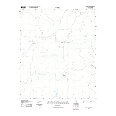
2010 Map of White Rock
USGS Topo · Published 2010About this map
Reeds Settlement and White Rock sit amidst a complex network of small waterways and county roads in this 2010 depiction of Red River County. The area is defined by its agrarian character, where small clusters of homes at Madras and Bryarly are connected by farm-to-market roads like FM 1158 and FM 1159. Genealogists may find interest in the Haywood Cemetery, a lone historical marker of the community's past, located south of Vessey. The landscape is etched by numerous drainages, including the prominent Pecan Bayou and White Rock Creek, which flow through the low-lying terrain near Burks Ridge. This modern survey documents the persistence of small Texas crossroads and rural homesteads, showing how the local road system follows the natural contours of the bayous and creeks that have long shaped the region's development.
Find a feature on this map
48 named features on this map. Tap any name to fly to it.
Don’t see what you’re looking for? This feature index may not catch every label — zoom into the map to look around manually.
Map Details
Editions of this 2010 White Rock Map
This is the sole edition of this map. No revisions or reprints were ever made.
Other maps of this area

1950 · Acworth
USGS Topo · 1:24,000

1950 · White Rock
USGS Topo · 1:24,000

1950 · Annona
USGS Topo · 1:24,000

1951 · Idabel SE
USGS Topo · 1:24,000

1951 · English
USGS Topo · 1:24,000

1951 · Annona
USGS Topo · 1:24,000

1951 · White Rock
USGS Topo · 1:24,000

1951 · Acworth
USGS Topo · 1:24,000

1951 · Avery
USGS Topo · 1:24,000

1951 · Negley
USGS Topo · 1:24,000