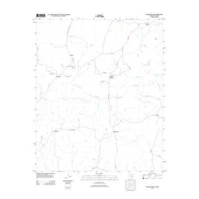
2012 Map of White Rock
USGS Topo · Published 2012About this map
Pecan Bayou and its meandering tributaries, such as Concord Cr and Little White Oak Cr, define the landscape of this Red River County region. The map reveals a network of rural communities connected by farm roads, including Madras, Dilworth, and White Rock. Local family history is centered on landmarks like the Haywood Cem near Vessey and the established footprint of Reeds Settlement.
Find a feature on this map
46 named features on this map. Tap any name to fly to it.
Don’t see what you’re looking for? This feature index may not catch every label — zoom into the map to look around manually.
Map Details
Editions of this 2012 White Rock Map
This is the sole edition of this map. No revisions or reprints were ever made.
Other maps of this area

1950 · Acworth
USGS Topo · 1:24,000

1950 · White Rock
USGS Topo · 1:24,000

1950 · Annona
USGS Topo · 1:24,000

1951 · Idabel SE
USGS Topo · 1:24,000

1951 · English
USGS Topo · 1:24,000

1951 · Annona
USGS Topo · 1:24,000

1951 · White Rock
USGS Topo · 1:24,000

1951 · Acworth
USGS Topo · 1:24,000

1951 · Avery
USGS Topo · 1:24,000

1951 · Negley
USGS Topo · 1:24,000