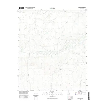
2016 Map of White Rock
USGS Topo · Published 2016About this map
White Rock and the surrounding drainage of the Pecan Bayou system characterize this corner of Red River County. The landscape is defined by an intricate network of waterways, including Little White Oak Cr and Concord Cr, which feed into the wider bayou basin. This 2016 survey illustrates the persistent rural character of the region, where family and community heritage is anchored at sites like Haywood Cem.
Find a feature on this map
38 named features on this map. Tap any name to fly to it.
Don’t see what you’re looking for? This feature index may not catch every label — zoom into the map to look around manually.
Map Details
Editions of this 2016 White Rock Map
This is the sole edition of this map. No revisions or reprints were ever made.
Other maps of this area

1950 · Acworth
USGS Topo · 1:24,000

1950 · White Rock
USGS Topo · 1:24,000

1950 · Annona
USGS Topo · 1:24,000

1951 · Idabel SE
USGS Topo · 1:24,000

1951 · English
USGS Topo · 1:24,000

1951 · Annona
USGS Topo · 1:24,000

1951 · White Rock
USGS Topo · 1:24,000

1951 · Acworth
USGS Topo · 1:24,000

1951 · Avery
USGS Topo · 1:24,000

1951 · Negley
USGS Topo · 1:24,000