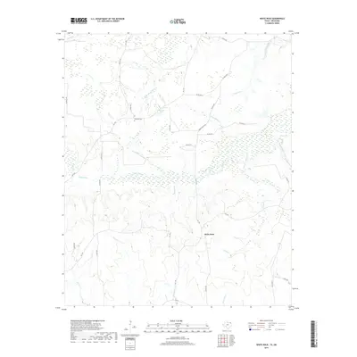
2019 Map of White Rock
USGS Topo · Published 2019About this map
White Rock serves as the focal point for this rural portion of Red River County, where the landscape is defined by an intricate network of waterways draining toward the Pecan Bayou. The terrain is marked by the winding courses of Caney Cr and Concord Cr, which meander through a series of low-lying areas and wetlands. Local history and genealogy interest is centered near Haywood Cem in the northern portion of the quadrangle, situated between Little White Oak Cr and Old Goose Pond.
Find a feature on this map
37 named features on this map. Tap any name to fly to it.
Don’t see what you’re looking for? This feature index may not catch every label — zoom into the map to look around manually.
Map Details
Editions of this 2019 White Rock Map
This is the sole edition of this map. No revisions or reprints were ever made.
Other maps of this area

1950 · Acworth
USGS Topo · 1:24,000

1950 · White Rock
USGS Topo · 1:24,000

1950 · Annona
USGS Topo · 1:24,000

1951 · Idabel SE
USGS Topo · 1:24,000

1951 · English
USGS Topo · 1:24,000

1951 · Annona
USGS Topo · 1:24,000

1951 · White Rock
USGS Topo · 1:24,000

1951 · Acworth
USGS Topo · 1:24,000

1951 · Avery
USGS Topo · 1:24,000

1951 · Negley
USGS Topo · 1:24,000