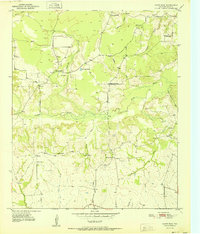
1951 Map of White Rock
USGS Topo · Published 1951About this map
Pecan Bayou meanders across this rural Red River County landscape, defining the local geography alongside numerous drainages like Deadman Branch and Tanyard Branch. The early 1950s settlement pattern is characterized by small, dispersed communities and agricultural centers such as Madras and Vessey. These locales served as the social heart of the area, anchored by institutions like Shiloh Ch and Cold Spring Sch.
Find a feature on this map
31 named features on this map. Tap any name to fly to it.
Don’t see what you’re looking for? This feature index may not catch every label — zoom into the map to look around manually.
Map Details
Editions of this 1951 White Rock Map
This is the sole edition of this map. No revisions or reprints were ever made.
Other maps of this area
1950 · Acworth
USGS Topo · 1:24,000
1950 · White Rock
USGS Topo · 1:24,000
1950 · Annona
USGS Topo · 1:24,000
1951 · Idabel SE
USGS Topo · 1:24,000
1951 · English
USGS Topo · 1:24,000
1951 · Annona
USGS Topo · 1:24,000
1951 · Acworth
USGS Topo · 1:24,000
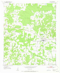
1951 · Avery
USGS Topo · 1:24,000
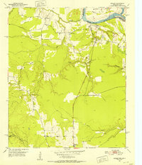
1951 · Negley
USGS Topo · 1:24,000

1953 · Texarkana
USGS Topo · 1:250,000