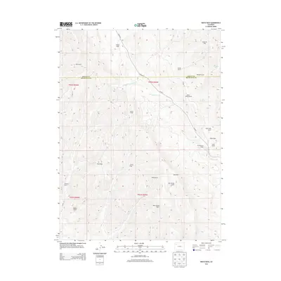
2013 Map of White Rock
USGS Topo · Published 2013About this map
Danforth Hills and the Coyote Basin define the high-elevation landscape of the Colorado backcountry along the border of Moffat and Rio Blanco counties. This 2013 survey illustrates a region shaped by complex drainage systems and semi-arid terrain, where Strawberry Creek serves as a primary watercourse. The map reveals a network of named canyons and ridges, including Tschuddi Gulch, Gower Gulch, and the prominent Dick Ridge.
Find a feature on this map
33 named features on this map. Tap any name to fly to it.
Don’t see what you’re looking for? This feature index may not catch every label — zoom into the map to look around manually.
Map Details
Editions of this 2013 White Rock Map
This is the sole edition of this map. No revisions or reprints were ever made.
Other maps of this area

1907 · White River
USGS Topo · 1:125,000

1910 · Danforth Hills
USGS Topo · 1:125,000

1910 · White River
USGS Topo · 1:125,000

1912 · Meeker
USGS Topo · 1:62,500

1912 · Axial
USGS Topo · 1:62,500

1914 · Meeker
USGS Topo · 1:62,500

1914 · Axial
USGS Topo · 1:62,500

1954 · Vernal
USGS Topo · 1:250,000

1954 · Craig
USGS Topo · 1:250,000

1957 · Craig
USGS Topo · 1:250,000