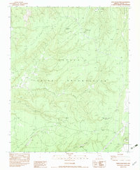
1983 Map of White Rock Wash
USGS Topo · Published 1983About this map
Navajo Indian Reservation lands in Apache County dominate this 1983 landscape, defined by a network of drainage washes and vital water sources. The area is characterized by the Upper Mountain Forest and the dramatic geological presence of Fluted Rock in the southeast. Water management is central to the human footprint here, visible through isolated points like Neyezee Well and Honeymoon Spring, which serve as landmarks in an otherwise sparse high-desert terrain.
Find a feature on this map
13 named features on this map. Tap any name to fly to it.
Don’t see what you’re looking for? This feature index may not catch every label — zoom into the map to look around manually.
Map Details
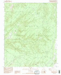
Editions of this 1983 White Rock Wash Map
2 editions found
Other maps of this area

1886 · Fort Defiance
USGS Topo · 1:250,000

1892 · Fort Defiance
USGS Topo · 1:250,000

1892 · Canyon De Chelly
USGS Topo · 1:250,000

1954 · Shiprock
USGS Topo · 1:250,000

1954 · Gallup
USGS Topo · 1:250,000

1955 · Zith-Tusayan Butte 2 SE
USGS Topo · 1:24,000

1955 · Zith-Tusayan Butte 2 SW
USGS Topo · 1:24,000

1955 · Zith-Tusayan Butte 2 NW
USGS Topo · 1:24,000

1955 · Zith-Tusayan Butte 2 NE
USGS Topo · 1:24,000

1955 · Sonsala Butte 3 SE
USGS Topo · 1:24,000