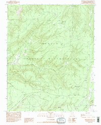
1983 Map of White Rock Wash
USGS Topo · Published 1983About this map
Navajo Indian Reservation lands dominate this high-desert landscape in northern Arizona, centered on the drainage system of White Rock Wash. The terrain is defined by a network of seasonal watercourses and isolated springs that supported local pastoral life, including Honeymoon Spring, Tsegilo Spring, and White Rock Spring. In the northeast corner, the map captures a portion of the Canyon De Chelly National Monument, while the southern reaches feature the prominent Fluted Rock landmark.
Find a feature on this map
12 named features on this map. Tap any name to fly to it.
Don’t see what you’re looking for? This feature index may not catch every label — zoom into the map to look around manually.
Map Details
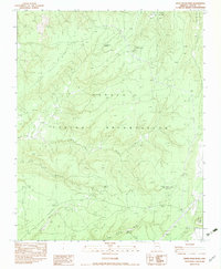
Editions of this 1983 White Rock Wash Map
2 editions found
Other maps of this area

1886 · Fort Defiance
USGS Topo · 1:250,000

1892 · Fort Defiance
USGS Topo · 1:250,000

1892 · Canyon De Chelly
USGS Topo · 1:250,000

1954 · Shiprock
USGS Topo · 1:250,000

1954 · Gallup
USGS Topo · 1:250,000

1955 · Zith-Tusayan Butte 2 SE
USGS Topo · 1:24,000

1955 · Zith-Tusayan Butte 2 SW
USGS Topo · 1:24,000

1955 · Zith-Tusayan Butte 2 NW
USGS Topo · 1:24,000

1955 · Zith-Tusayan Butte 2 NE
USGS Topo · 1:24,000

1955 · Sonsala Butte 3 SE
USGS Topo · 1:24,000