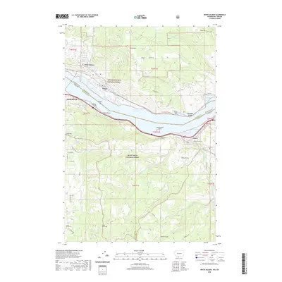
2020 Map of White Salmon
USGS Topo · Published 2020About this map
Lake Bonneville and the Bingen Range Channel dominate this Columbia River Gorge corridor, where the states of Washington and Oregon meet at the narrow Bingen Gap. The river landscape is characterized by prominent basalt formations such as Stanley Rock, Coyote Wall, and the Mosier Twin Tunnels. In the northern half, the settlements of White Salmon and Bingen sit below the slopes of Burdoin Mtn within the Gifford Pinchot National Forest.
Find a feature on this map
76 named features on this map. Tap any name to fly to it.
Don’t see what you’re looking for? This feature index may not catch every label — zoom into the map to look around manually.
Map Details
Editions of this 2020 White Salmon Map
This is the sole edition of this map. No revisions or reprints were ever made.
Other maps of this area

1926 · Hood River
USGS Topo · 1:125,000

1929 · Hood River
USGS Topo · 1:125,000

1934 · The Dalles
USGS Topo · 1:125,000

1953 · The Dalles
USGS Topo · 1:250,000

1956 · The Dalles
USGS Topo · 1:250,000

1957 · The Dalles
USGS Topo · 1:250,000

1957 · Willard
USGS Topo · 1:62,500

1957 · White Salmon
USGS Topo · 1:62,500

1957 · Husum
USGS Topo · 1:62,500

1957 · Hood River
USGS Topo · 1:62,500