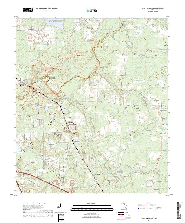
2024 Map of White Springs East
USGS Topo · Published 2024About this map
White Springs and the winding Suwannee River anchor this 2024 quadrangle, illustrating the interaction between the river's path and the development of Columbia and Hamilton Counties. The river's character is defined by landmarks such as Big Shoals, Little Shoals, and the sharp turn at Scarborough Bend. The surrounding landscape is characterized by its wetlands and hydrology, with named features like Indian Mound Swamp, Gabbage-Head, and Big Prairie scattered among the pines.
Find a feature on this map
122 named features on this map. Tap any name to fly to it.
Don’t see what you’re looking for? This feature index may not catch every label — zoom into the map to look around manually.
Map Details
Editions of this 2024 White Springs East Map
This is the sole edition of this map. No revisions or reprints were ever made.
Other maps of this area

1954 · Valdosta
USGS Topo · 1:250,000

1958 · Valdosta
USGS Topo · 1:250,000

1959 · Valdosta
USGS Topo · 1:250,000

1961 · Deep Creek
USGS Topo · 1:24,000

1961 · White Springs East
USGS Topo · 1:24,000

1961 · White Springs West
USGS Topo · 1:24,000

1962 · Genoa
USGS Topo · 1:24,000

1962 · Lake City East
USGS Topo · 1:24,000

1963 · Lake City West
USGS Topo · 1:24,000
1969 · Wellborn
USGS Topo · 1:24,000