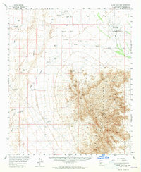
1957 Map of White Tank Mts.
USGS Topo · Published 1965About this map
The White Tank Mountains dominate the eastern half of this mid-century quadrangle, their steep ridges rising sharply from the desert floor of Maricopa County. This landscape is defined by the vital search for water in an arid environment, documented through a network of remote sites such as Dos Palmas Well, Flower Pot Well, and Light Hall Well. To the north and east, the desert is organized for military use during the Cold War era, featuring Luke Air Force Auxiliary Field No. 1 and Luke Auxiliary Field No. 4, while the White Tanks Proving Grounds occupy the southeastern corner. The western portion of the sheet follows the course of the Hassayampa River and its numerous desert drainages, including Daggs Wash and Bootlegger Wash. A singular Jeep Trail provides the primary access through the higher elevations, where peaks like Vabm 4018 mark the highest points of the range.
Find a feature on this map
31 named features on this map. Tap any name to fly to it.
Don’t see what you’re looking for? This feature index may not catch every label — zoom into the map to look around manually.
Map Details
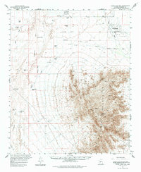
Editions of this 1957 White Tank Mts. Map
3 editions found

Other maps of this area

1946 · Avondale
USGS Topo · 1:62,500

1948 · Cashion
USGS Topo · 1:62,500

1954 · Phoenix
USGS Topo · 1:250,000

1957 · Phoenix
USGS Topo · 1:250,000

1957 · White Tank Mts. SE
USGS Topo · 1:24,000

1957 · Valencia
USGS Topo · 1:24,000

1957 · Perryville
USGS Topo · 1:24,000

1957 · White Tank Mts. NE
USGS Topo · 1:24,000

1957 · McMicken Dam
USGS Topo · 1:24,000

1957 · Waddell
USGS Topo · 1:24,000