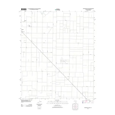
2012 Map of Whiteface NW
USGS Topo · Published 2012About this map
Morton anchors the northwestern corner of this landscape, where the street grid of the town site meets the expansive agricultural geometry of the Texas South Plains. The terrain is defined by a dense network of ranch and farm-to-market roads, including the prominent diagonal passage of Highway 114 cutting through the heart of the region. This 2012 survey illustrates the systematic division of land characteristic of Cochran County, showing how modern transportation routes and rural section lines organized the high plains long after the initial settlement era. While the town represents the primary hub, the surrounding area is a testament to large-scale ranching and farming operations that continue to define the local economy and community structure.
Find a feature on this map
1 named feature on this map. Tap any name to fly to it.
Don’t see what you’re looking for? This feature index may not catch every label — zoom into the map to look around manually.
Map Details
Editions of this 2012 Whiteface NW Map
This is the sole edition of this map. No revisions or reprints were ever made.
Other maps of this area

1954 · Brownfield
USGS Topo · 1:250,000

1958 · Brownfield
USGS Topo · 1:250,000

1962 · Brownfield
USGS Topo · 1:250,000

1964 · Pep
USGS Topo · 1:24,000

1965 · Pettit
USGS Topo · 1:24,000

1965 · Whiteface
USGS Topo · 1:24,000

1969 · Enochs
USGS Topo · 1:24,000

1969 · Lehman
USGS Topo · 1:24,000

1970 · Whiteface SW
USGS Topo · 1:24,000

1971 · Whiteface NW
USGS Topo · 1:24,000