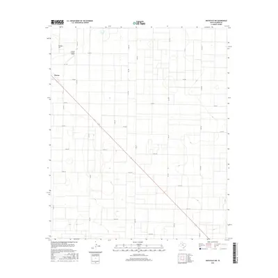
2016 Map of Whiteface NW
USGS Topo · Published 2016About this map
The High Plains of West Texas are defined here by a rigorous grid of section lines and ranch roads, with Morton situated at the northwestern edge of the map. This 2016 survey illustrates a landscape dominated by agriculture and aviation, notably featuring the Cochran County Airport situated north of the town center. The topography is largely level, though the rise of Ramsey Hill provides one of the few distinct elevation changes in the region. Transportation throughout the county is dictated by a network of Farm to Market roads including Fm 1780 and Fm 2195, which facilitate movement between the sprawling agricultural tracts. The map also captures numerous localized basins and depressions typical of the Llano Estacado, providing a detailed look at the rural infrastructure and land use patterns of Cochran County.
Find a feature on this map
21 named features on this map. Tap any name to fly to it.
Don’t see what you’re looking for? This feature index may not catch every label — zoom into the map to look around manually.
Map Details
Editions of this 2016 Whiteface NW Map
This is the sole edition of this map. No revisions or reprints were ever made.
Other maps of this area

1954 · Brownfield
USGS Topo · 1:250,000

1958 · Brownfield
USGS Topo · 1:250,000

1962 · Brownfield
USGS Topo · 1:250,000

1964 · Pep
USGS Topo · 1:24,000

1965 · Pettit
USGS Topo · 1:24,000

1965 · Whiteface
USGS Topo · 1:24,000

1969 · Enochs
USGS Topo · 1:24,000

1969 · Lehman
USGS Topo · 1:24,000

1970 · Whiteface SW
USGS Topo · 1:24,000

1971 · Whiteface NW
USGS Topo · 1:24,000